Miles: 804.0 to 815.4
Trail Miles: 11.4
Today we summited Pinchot Pass, elev. 12,142 ft.
I woke up before my alarm at 4:30 with frost on the ceiling of my tent. It was cold and damp in the meadow where we had camped and the moisture from my breathing during the night had condensed.
I had slept well – dozing off around 10 PM to the sound of coyotes calling in the distance. There were 12 hikers camped in the meadow. I think the coyotes realized they were outnumbered.
We planned to get on the trail at 0545. I had enough time to boil some water and enjoy a hot breakfast for the first time in nearly a month. Back in Agua Dulce, as an experiment and to save weight/space, I had mailed my stove ahead. I wanted to try cold soaking my food while I was still in the desert. My intent was to get my stove back in Lone Pine as I entered the Sierras. Things got delayed and I didn’t get it back until our most recent resupply in Independence,CA. As with many things, you adapt and don’t realize what you’re missing until you get it back. It was such a treat to have hot oatmeal and tea in the 37 deg mountain air.
The climb up to Pinchot Pass was more difficult than I expected. The PCT Snow Report said it was similar to Glenn Pass which we’d climbed the previous day, but we encountered a lot more snow. The approach from the south was covered with large snowfields, many obscuring the trail. Fireball, Smokebeard and Painter each took turns route finding until we found the final set of switchbacks leading up to the pass.
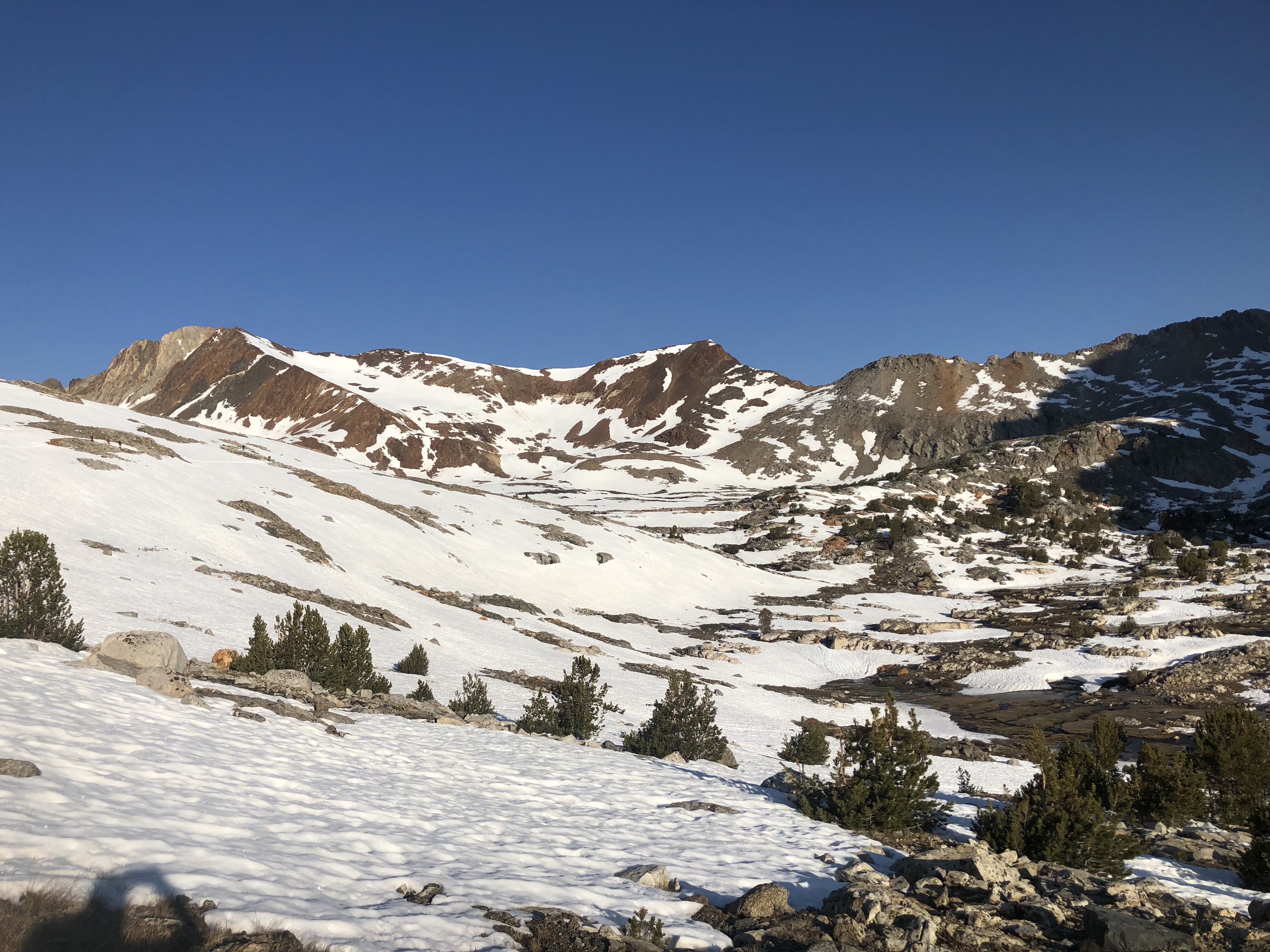
Snow covered approach to Pinchot Pass
Zoom in on photo above, upper left, you can see hikers
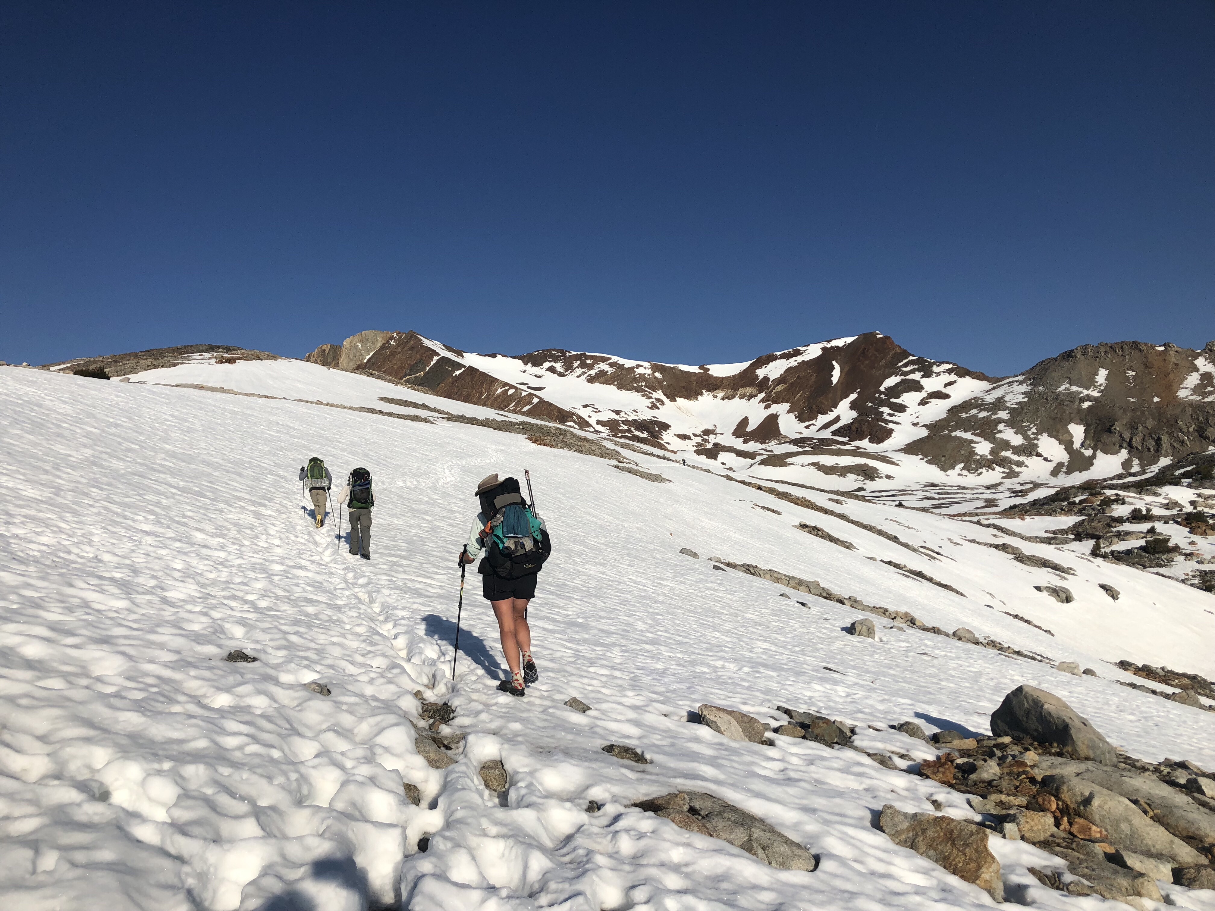
Approach to Pinchot Pass
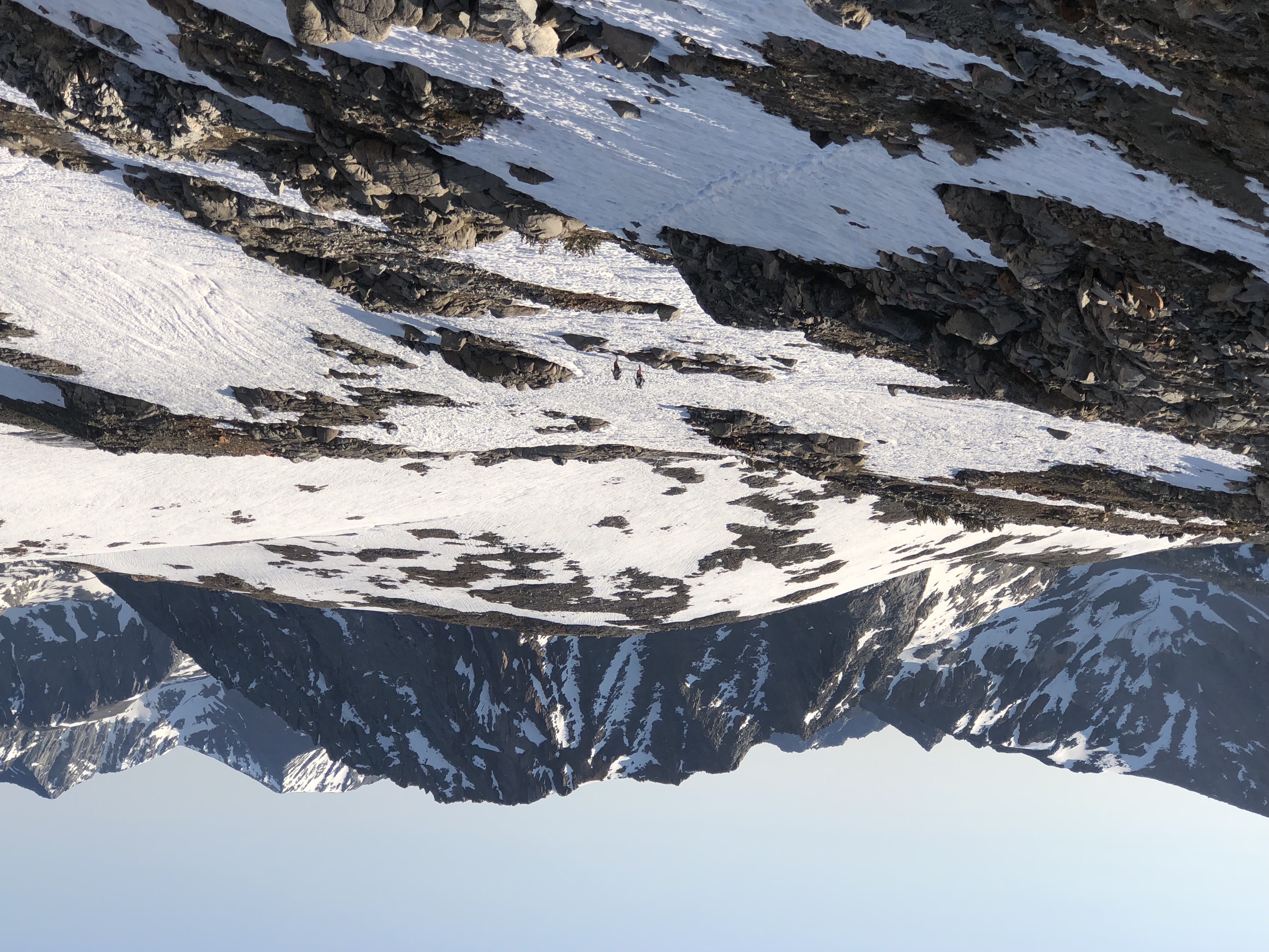
Cherry Bomb & Scooch on approach to Pinchot Pass
We got to the summit at 8 AM. It took us 2 hrs to go 3.1 miles, considerably slower than our norm. It gives you an idea of just how challenging the snow conditions and route finding were.
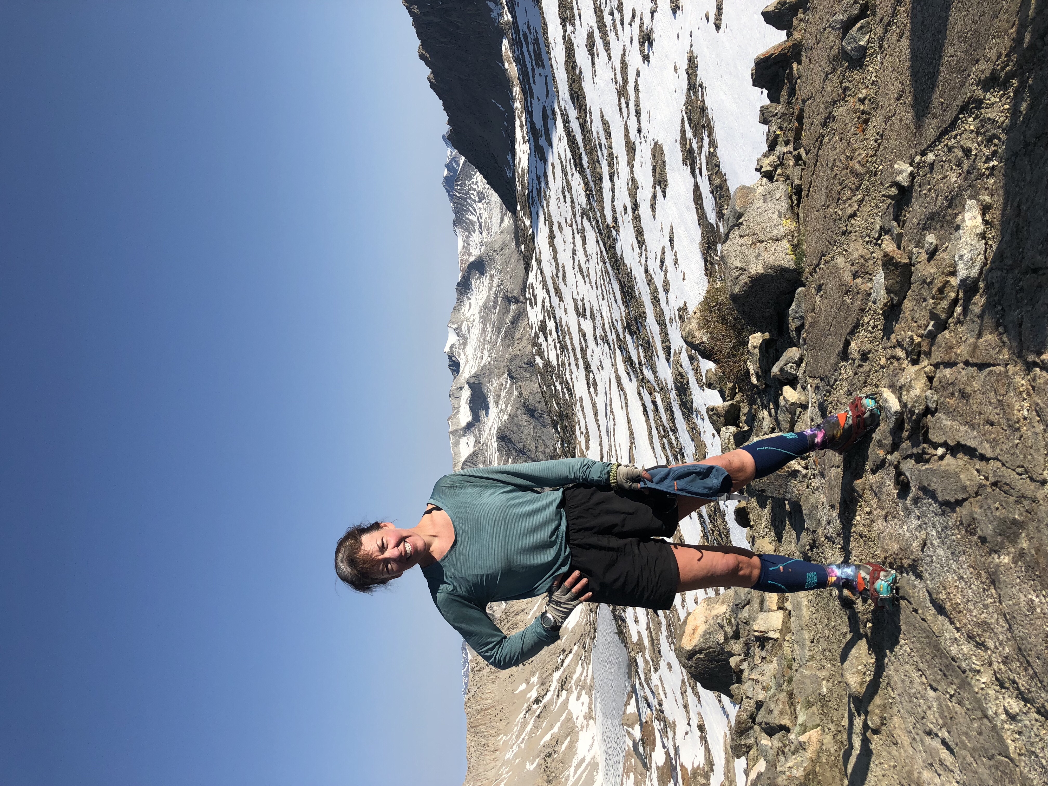
Atop Pinchot Pass
Insert picture of micro spikes
We stopped for about 15 min at the top, had a snack and then headed down, once again picking our way through snowfields and using our micro spikes. We passed Lake Marjorie, partly frozen and ringed by towering granite. It was stunning.
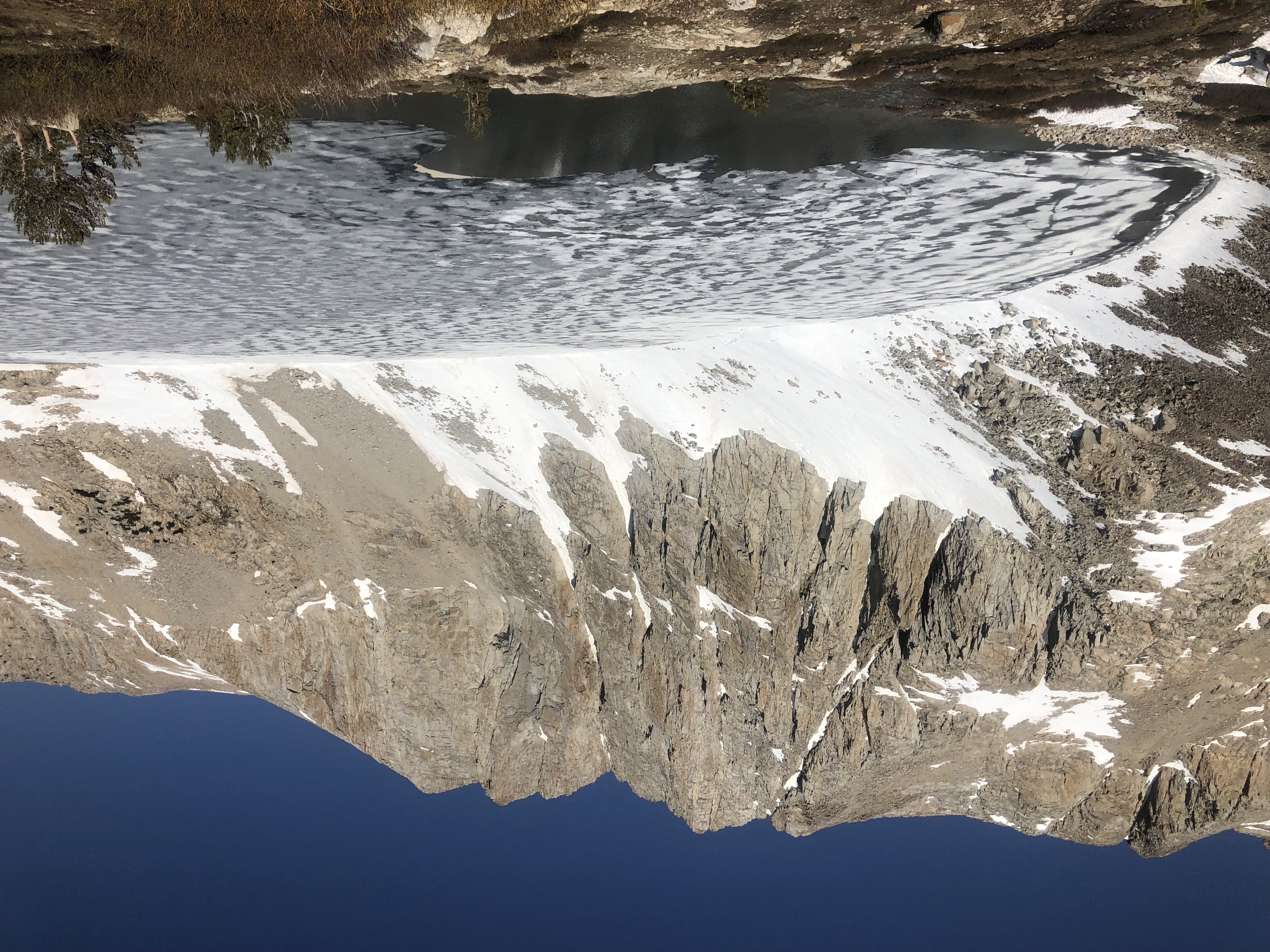
Lake Marjorie
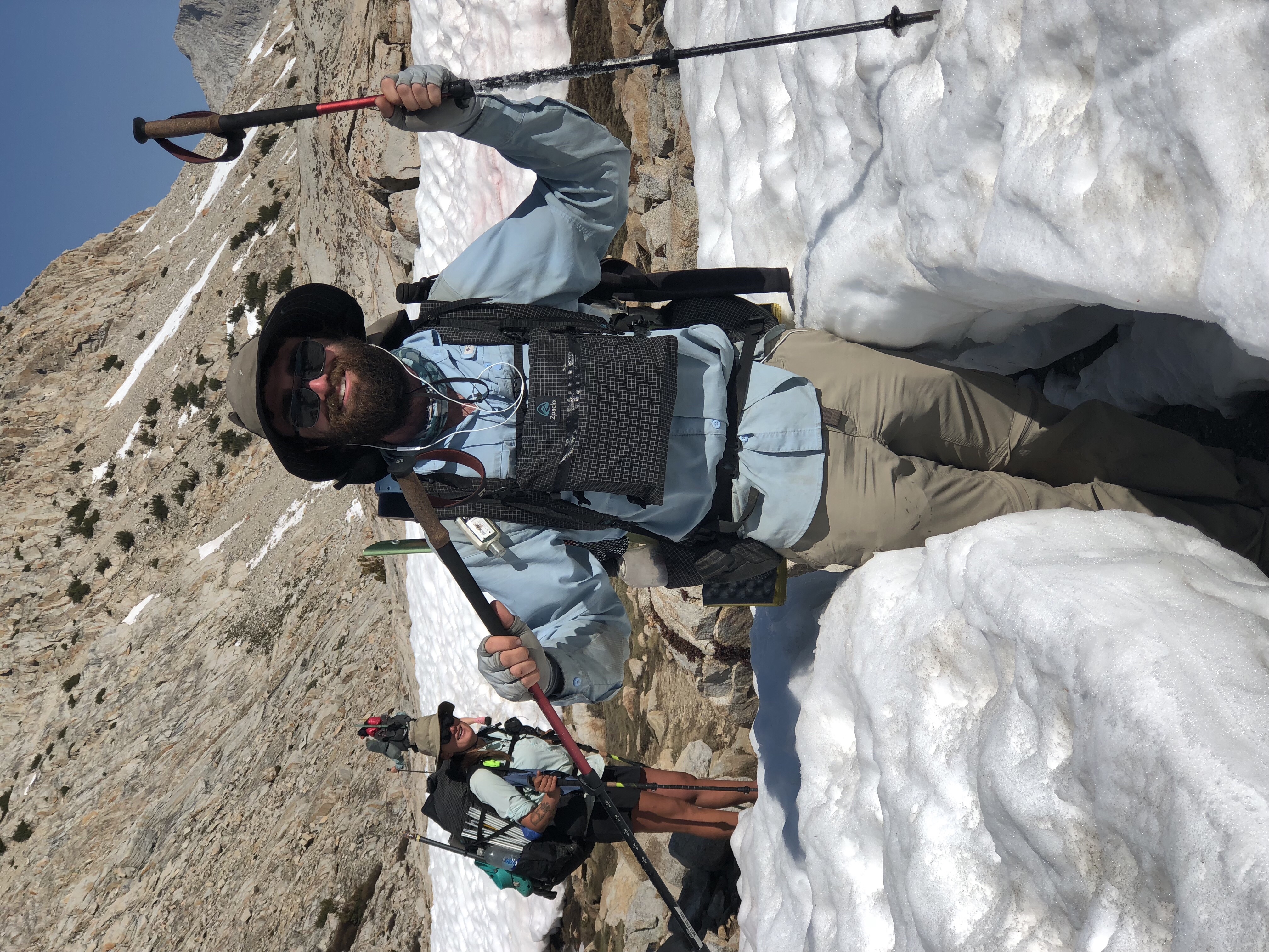
Painter & the snow depth on north side of Pinchot Pass
Our next goal was to make it to the South Fork of the Kings River. We had to ford the river several times. It was swollen with snowmelt, but fortunately, not too challenging. I opted to keep my shoes on today. The current was strong enough that I wanted the extra safety and stability. At one point the water was mid thigh.
Add Video of Cherry Bomb crossing
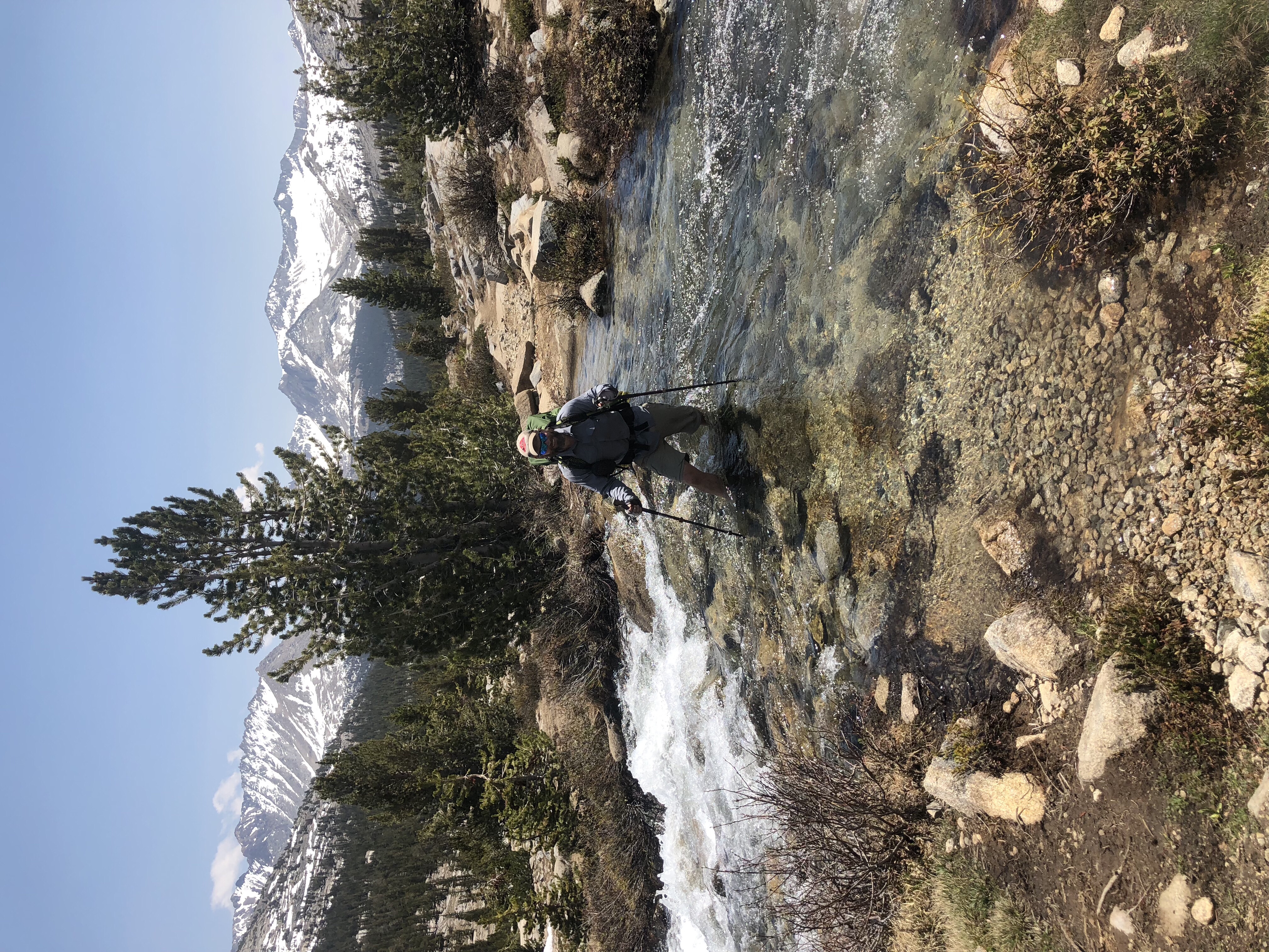
Cy Crossing South Fork Kings River
We stopped for lunch around 11 and again spread all our tents and sleeping bags out to dry in the sun. The frost on the inside of my tent had not yet melted. Instead it was compressed into 1-2 inch snowballs.
A few hours later we paused at a river crossing where a PCT hiker died last year. The Sierras had twice the normal amount of snow in 2017 and the rivers and snowmelt were treacherous. Smokebeard poured a bit of Gatorade in the river in remembrance . I thought of the hiker and offered a silent prayer. 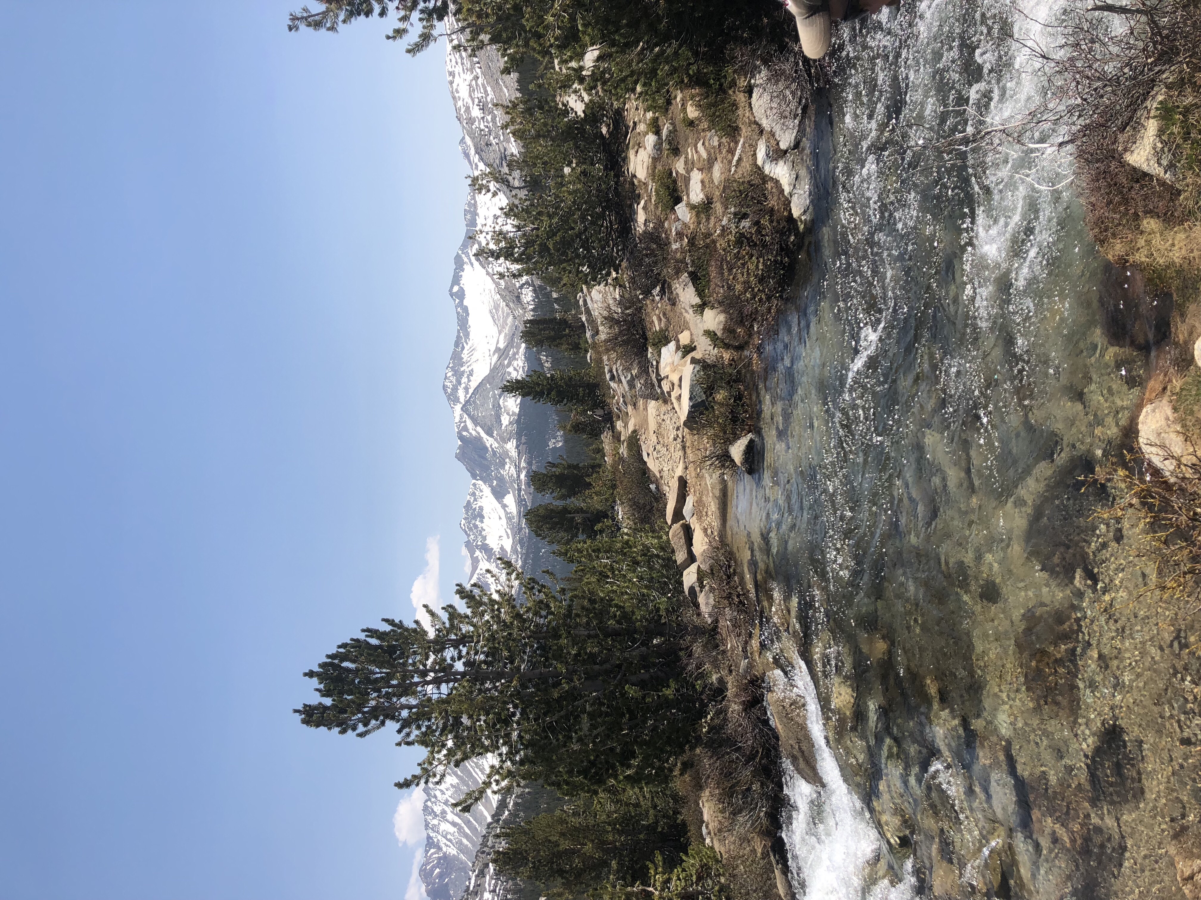
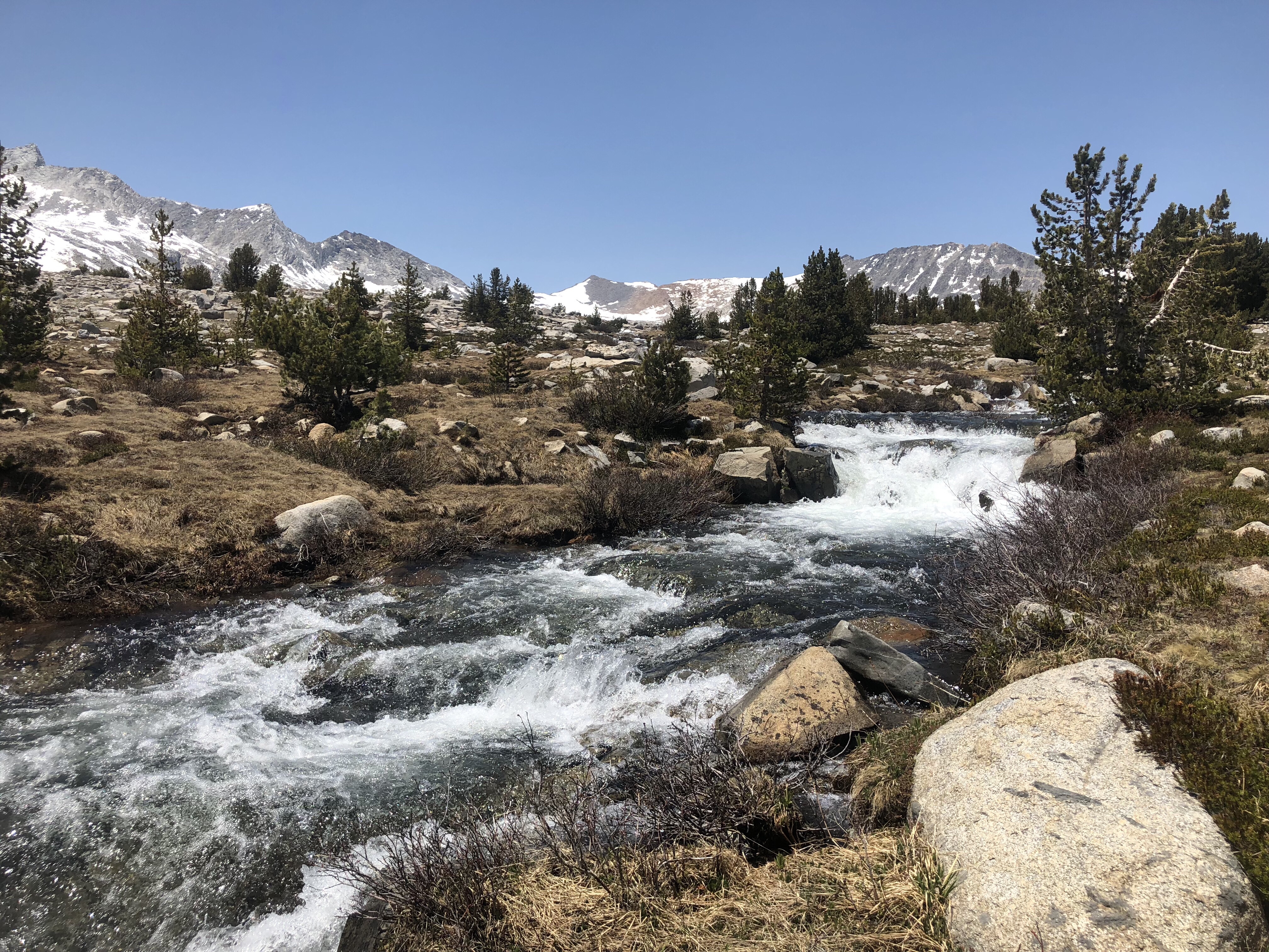
South Fork of the Kings River
In the afternoon the trail gradually climbed and we were soon back in snowfields. Route finding was more difficult as the sun had softened the snow and we postholed a lot. We eventually found our way to a semi dry and snow free bench less than 2miles from Mather Pass. We set up our tents and laid our shoes and socks out to dry. It was only 3pm. We enjoyed a relaxing late afternoon and dinner with a spectacular view of snow capped mountains. More hikers arrived, camping for the early climb up Mather Pass tomorrow. I counted at least 18 tents.
As soon as the sun went behind the mountain to the west, the temperature dropped. Within minutes everyone retired to the warmth of their tents and sleeping bags. It was on 7:30pm and still light outside. ‘Hiker Midnight’ comes early at altitude.
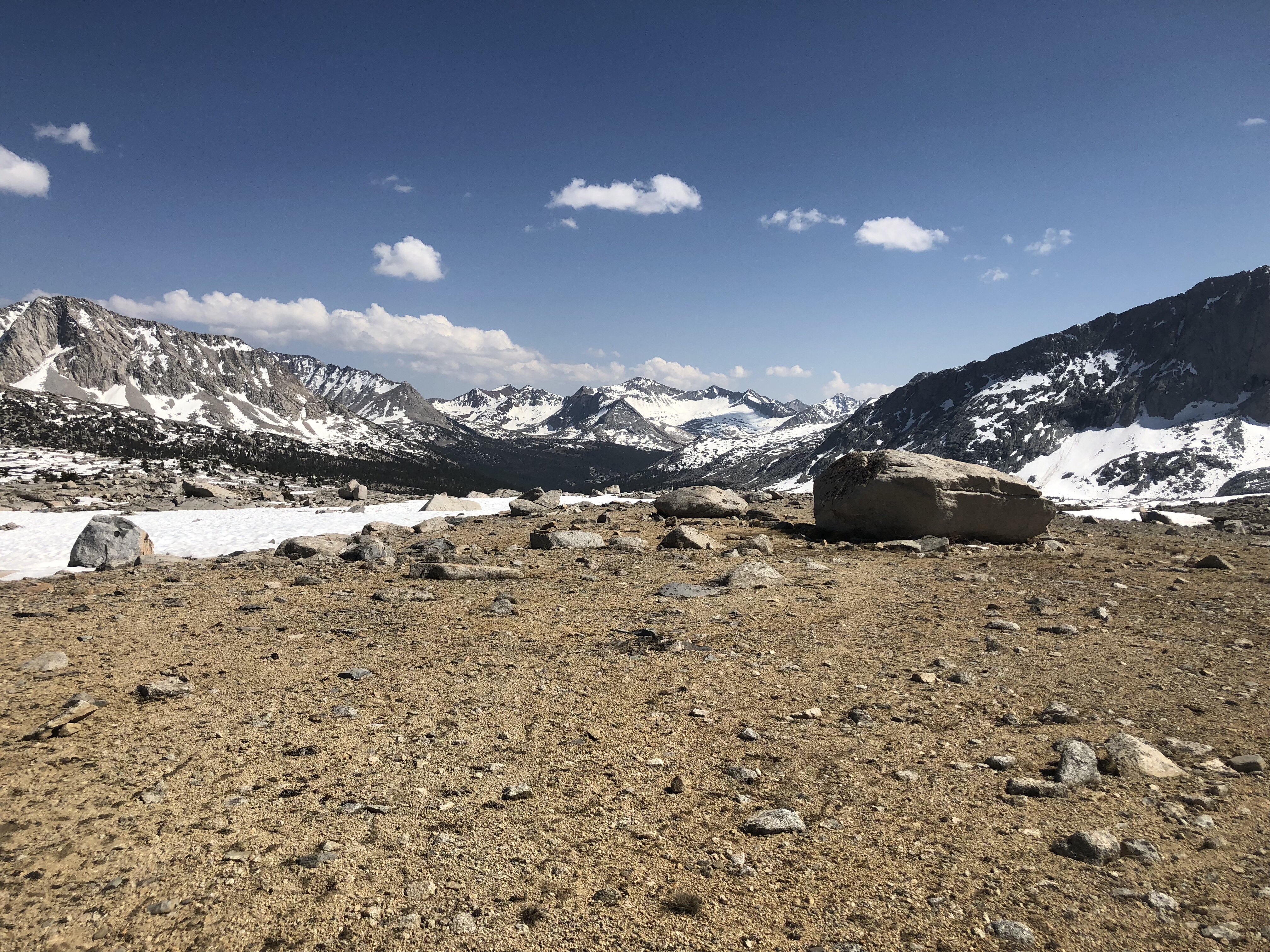 The view from our campsite below Mather Pass