MM:213.4
Trail Miles: 26.8
Miles Walked: 26.8
After all the elevation and exertion yesterday, it was great to get a good night’s sleep. I had setup my tent thinking it’d be too cold to cowboy camp at 8700 ft. Earplugs did the trick – I woke up at 0530. Slim had cowboy camped about 50 yds away.
We weren’t on any schedule so it was a relaxed pack up. We were on the trail at 0650. We hiked about 3 miles and stopped to cook breakfast.
Today was a downhill day. Like a BIG downhill. The trail descends from Mt San Jacinto along Fuller Ridge to the desert floor. From 8700 ft where we’d camped, to 1300 ft where it crossed under I-10. That’s 6400 ft elevation loss over 23 miles. Oh my aching knees.
The scenery on the descent was beautiful. The LA basin was overcast in the early morning, so the San Gabriel and San Bernardino mountains looked like they were islands poking up through the sea of clouds. San Gorgonio, the highest mountain in SoCal at just over 11,500 ft, was massive and majestic. I don’t know that my photos will convey just how much. It was an interesting perspective to look down on the desert scrub through the alpine forest above.


Mt San Gorgonio across I-10

The desert is still in bloom

Looking up at Mt San Jacinto
It goes without saying it was hot and dry. It’s 20 miles between water sources on this section. Slim and I had tanked up last night at Mile 185 where the San Jacinto River crosses the trail. At that point it’s more like a creek than a river. I left camp with a little over 4 liters. I’d drink all but a half liter on the descent. The winds helped to cool things off but the sun was unrelenting. My sun umbrella was working great until the winds kicked up and inverted it one too many times.
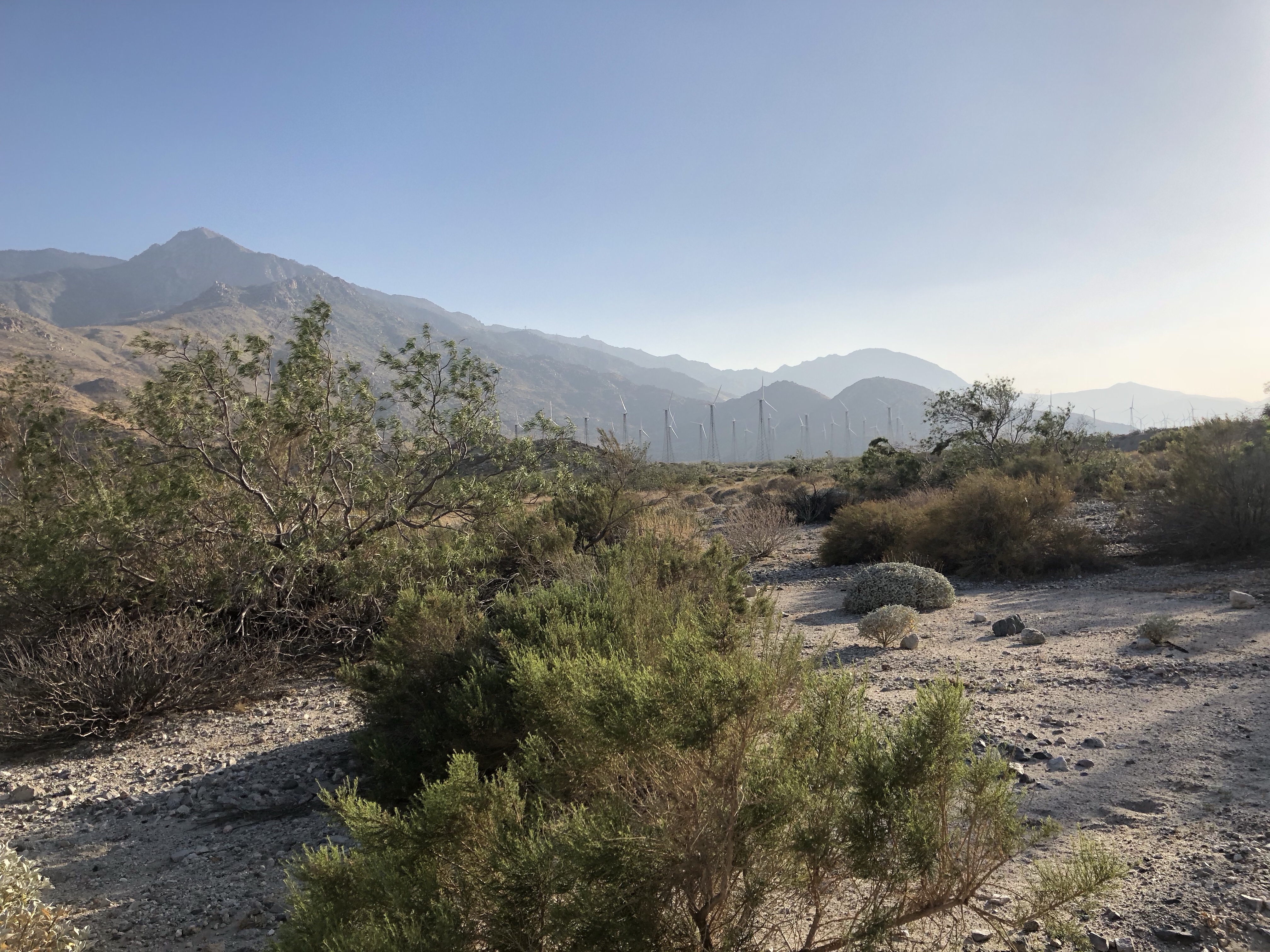
If you’ve ever driven I-10 between LA and Palm Springs, you know it’s a big wind farm area. The interstate sits between 2 mountain ranges that are over 10,000 ft. The wind naturally accelerates through this funnel.
We passed the 200 mile markers – there were two. My Guthook app says the second one was correct, but we took pics at both.

We got a rattlesnake to rattle as we walked by one of a million similar looking shrubs. Never did see him.
At mile 202 the PCT FB page had warned of bees. The bees were still there as was a trekking pole someone had dropped off the steep side of the trail. The bees were definitely defending their territory so we couldn’t retrieve the pole. I can imagine what transpired that caused someone to leave behind their pole.
When we finally reached the water faucet at mile 205, there were at least 20 hikers there. Everyone was tanking up and trying to escape the sun. We heard there was a Burger King and In-n-Out in nearby Cabazon. Hikers 4 miles ahead of us at the I-10 were calling Uber/Lyft for rides to get burgers and shakes. Hiking across the desert is tough.

No place to escape the sun at the water faucet

North towards the San Bernardino Mtns
Seriously though, it is tough. The 4 miles to I-10 was in sand 4 inches deep. It was like walking on the beach, minus the water and soothing ocean breeze. Instead we had wind strong enough to pick up sand and pelt you with it. It was like walking into a sand blaster.
There was trail magic at I-10. The trail passes underneath the highway at a bridge. There were sodas and water iced down in a cooler, some snacks and several poster boards for people to write on – typically thank you’s to the Trail Angels who maintain the spot. The hiker community has a “Leave No Trace” ethos, so graffiti is frowned upon – writing on poster board helps relieve the temptation.

Trail Magic! Shasta soda never tasted so good.
Slim and I hung out for a bit, chatting with Zack, Mirage and Syracuse Steve. Someone mentioned music and how contentious it is to play it over speakers vice headphones while hiking. Given we were all underneath a major interstate and 50 yds from an active railroad, I mentioned the 5 o’clock dance party. Even though it was 6:10, people seemed to be up for it. I hit play and The Who’s “Can’t Explain” started. Several people danced for about a minute then lost interest. I don’t think the dance party is going to last.

Escaping the sun under I-10
It was too noisy to camp near the interstate so Slim and I headed out with Montreal Marc and Momento. Even though we’d seen them practically everyday since Warner Springs, we’d been running a half day behind them. They were going to do another 5 miles. Slim and I were planning another 4 – enough to get out of the wind and have a head start on tomorrow’s climb. We’d be heading into the San Bernardino Mtns and eventually to Big Bear.

We cowboy camped under a nearly full moon near the wind farm.