MM: 398.7
Trail Miles: 21.8
Miles Walked: 26.4

Sunrise Day 24
I was on trail early and on the summit of Mt Baden-Powell at 0625. Gorgeous views. A lot of hikers had camped at the summit. Too bad I’d gotten such a late start yesterday….
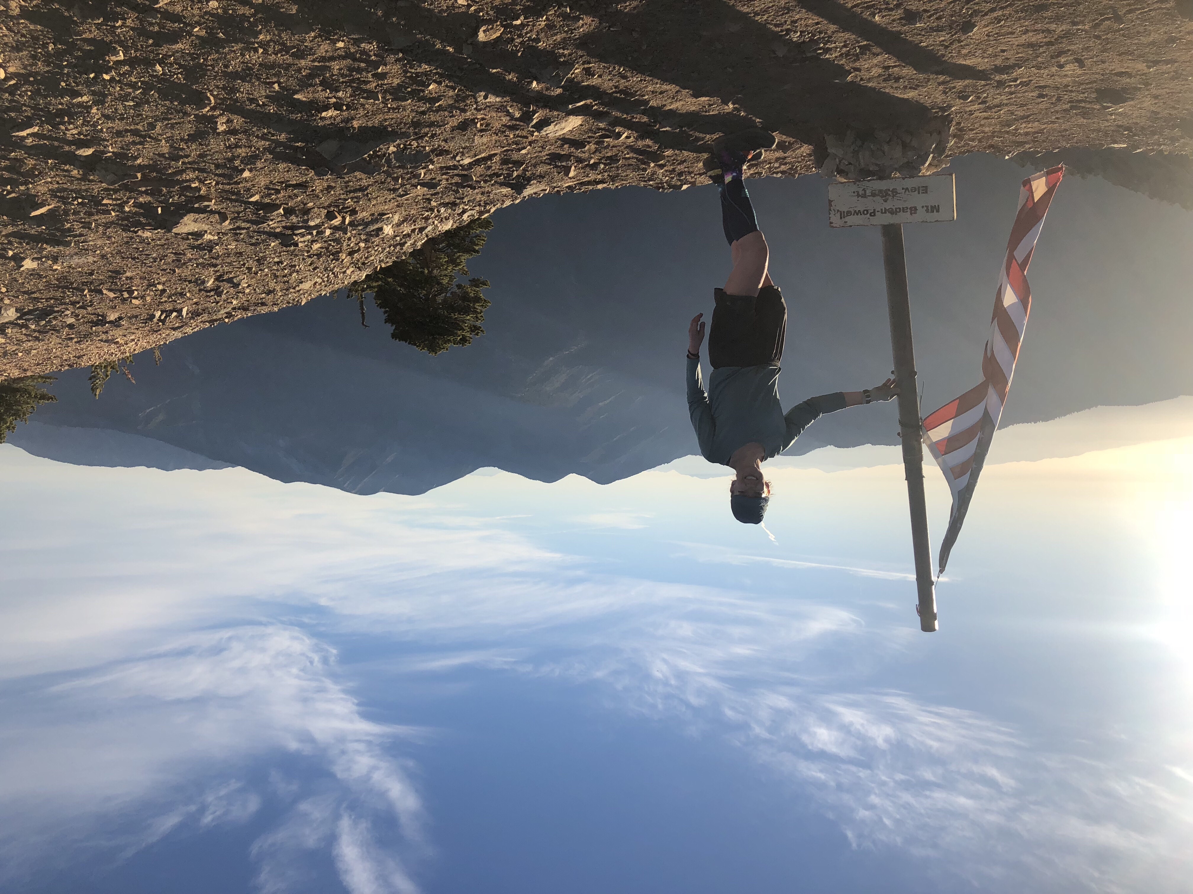
Today was whole new bubble of hikers I hadn’t seen before.
I took a nap today after a particularly big climb, 1200 ft in 1.5 miles. Felt rejuvenated afterwards.
Alex caught up with me shortly thereafter. I had meet him shortly before Julian during my first week. He was now speeding ahead of his group in order to get to Tehachapi, CA. He’d already hiked the PCT in 2015. This year he was hiking for training. In a few weeks he was going to Europe and would be traversing the Alps. 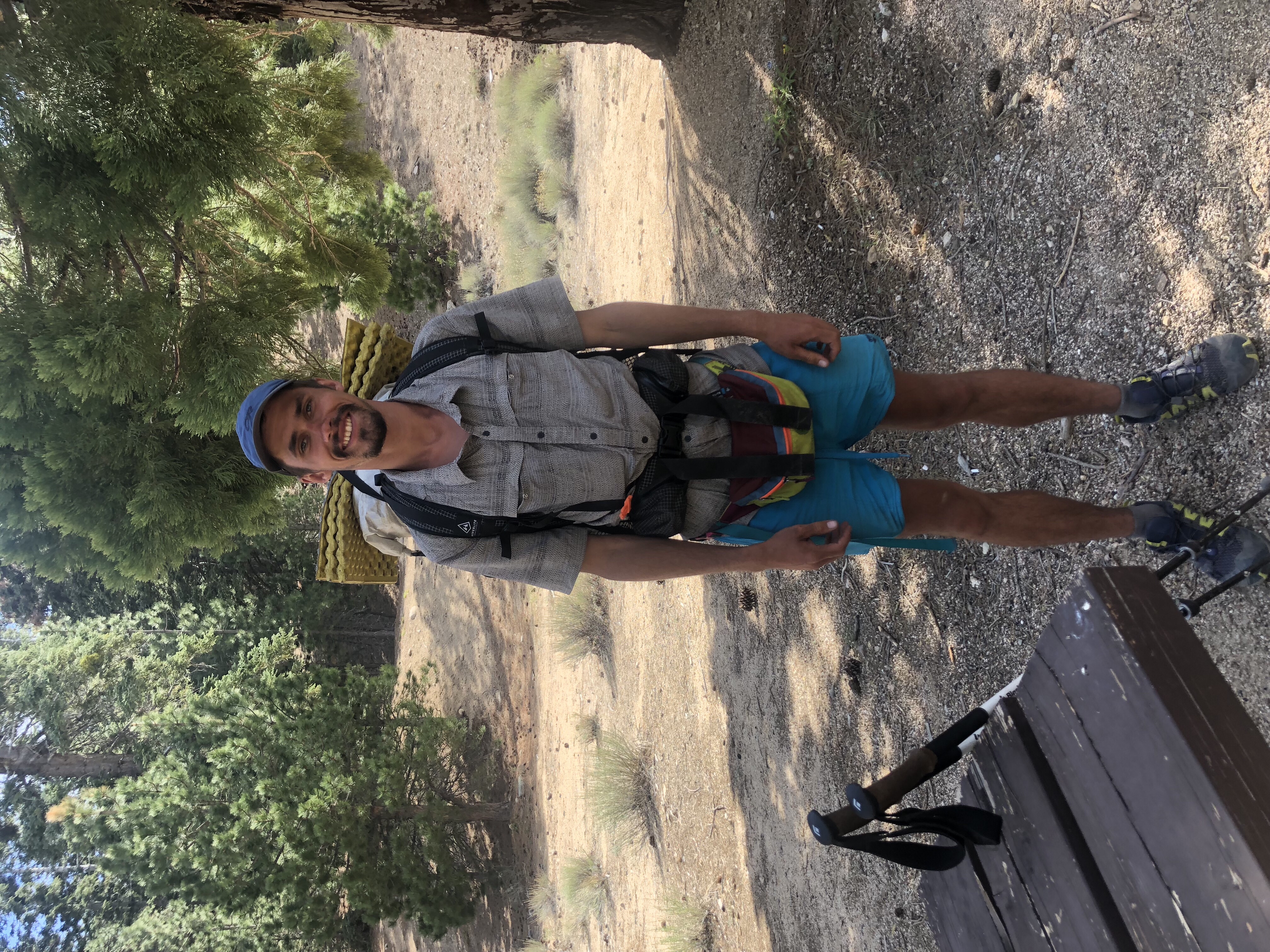
Alex (aka Cheese)
The Mountain Yellow Legged Frog is nearly extinct. In order to protect the frog’s habitat 4 miles of the PCT is closed. In the San Gabriel Mtns. The re route Is a road walk 2.7 miles along Hwy 2 then a hike thru Buckhorn CG and re-connect to the PCT via the Burkhardt Trail (2.4m). Road walks are tough on your feet, but the San Gabriels are particularly steep. I didn’t mind this detour as it avoided some climbs/descents. 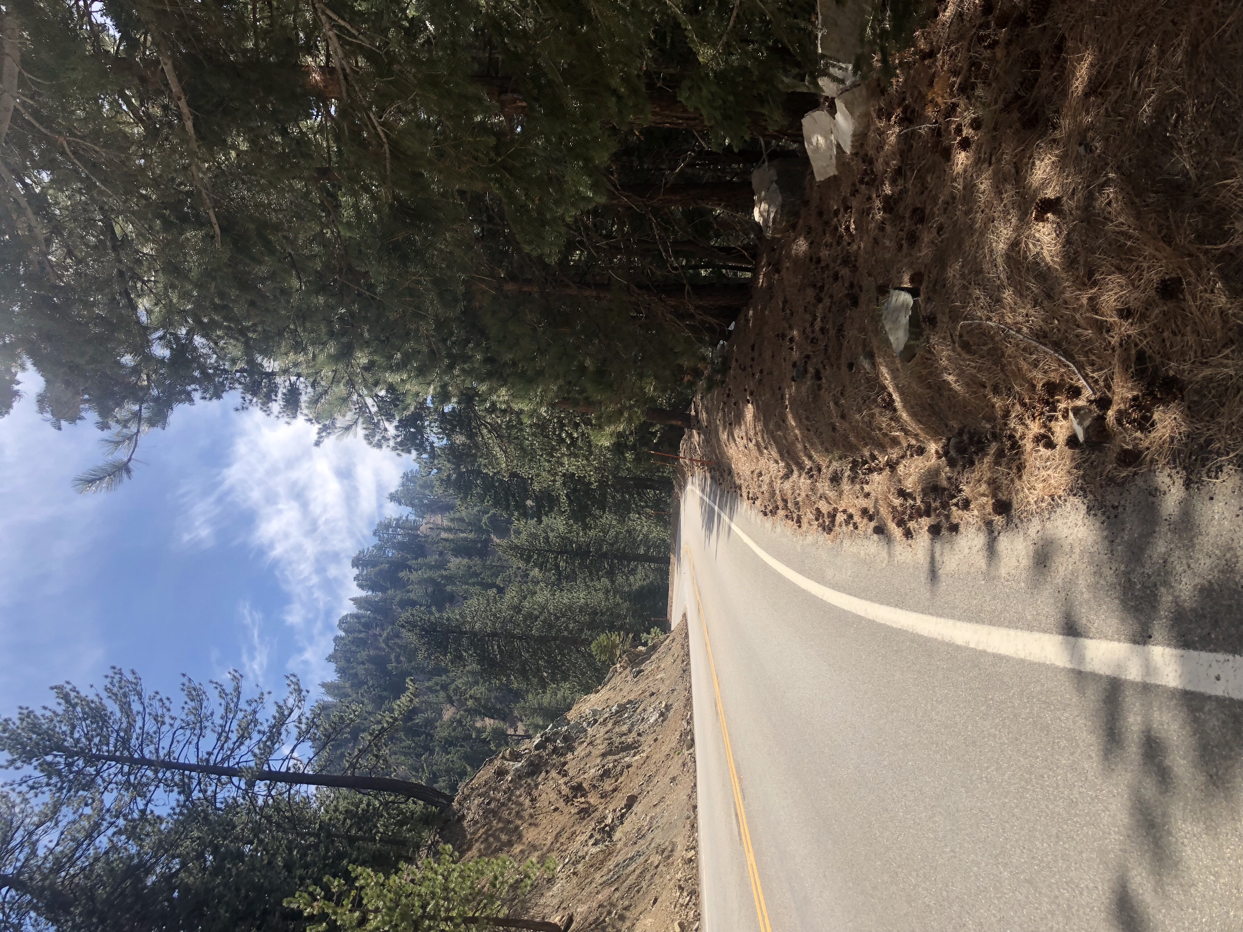
Road Walk – Hwy 2 Angeles Crest
Yes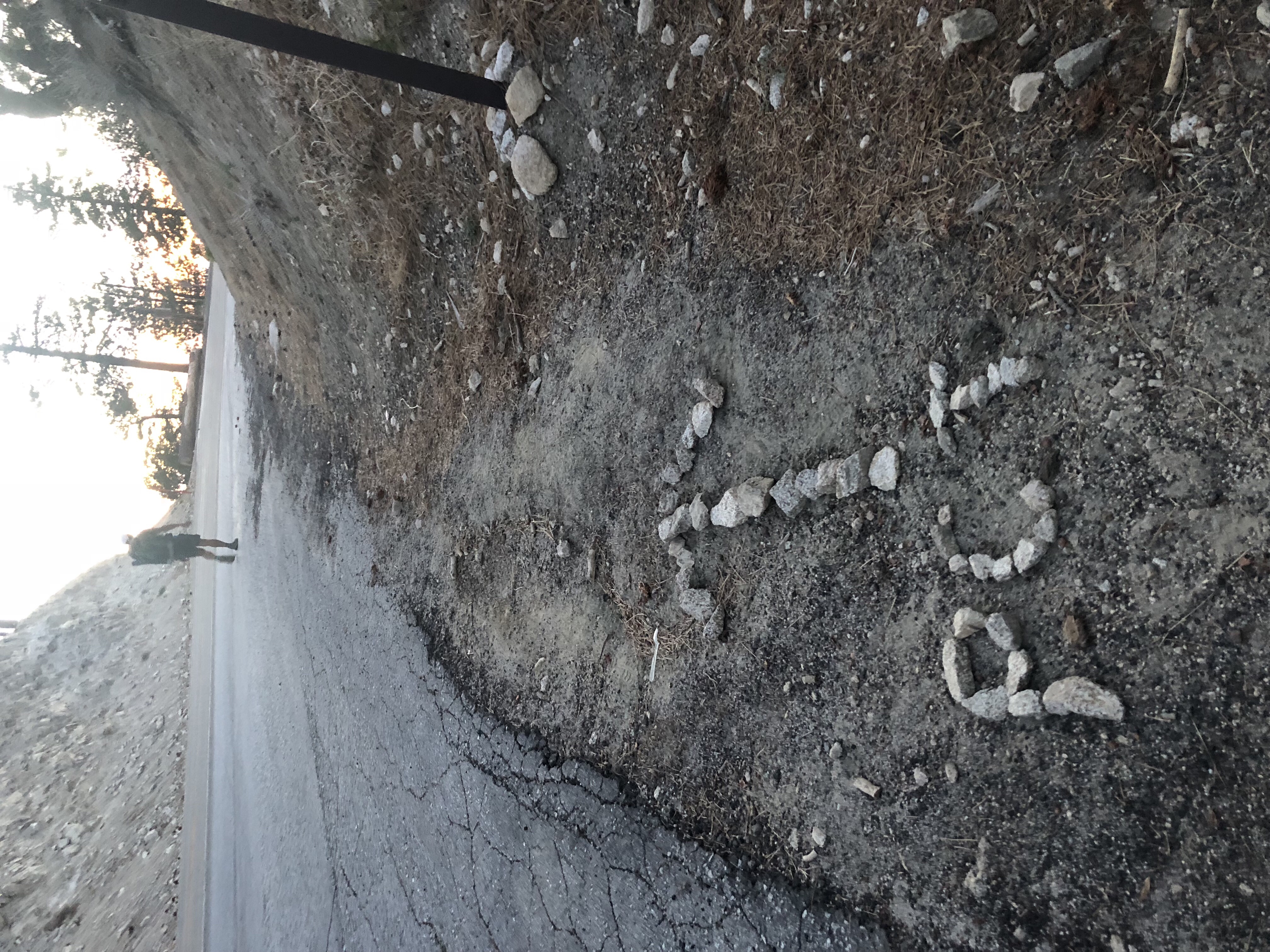 Yes Man Crossing Hwy 2
I hiked a little w/Opa who I met getting water at Little Jimmy Spring. Then I ate dinner w/Yes Man. He and I wound up hiking 3more miles after dinner and cowboy camped near each other. Unfortunately the trail crosses hwy 2 numerous times so we couldn’t get away from the road before it got too dark.
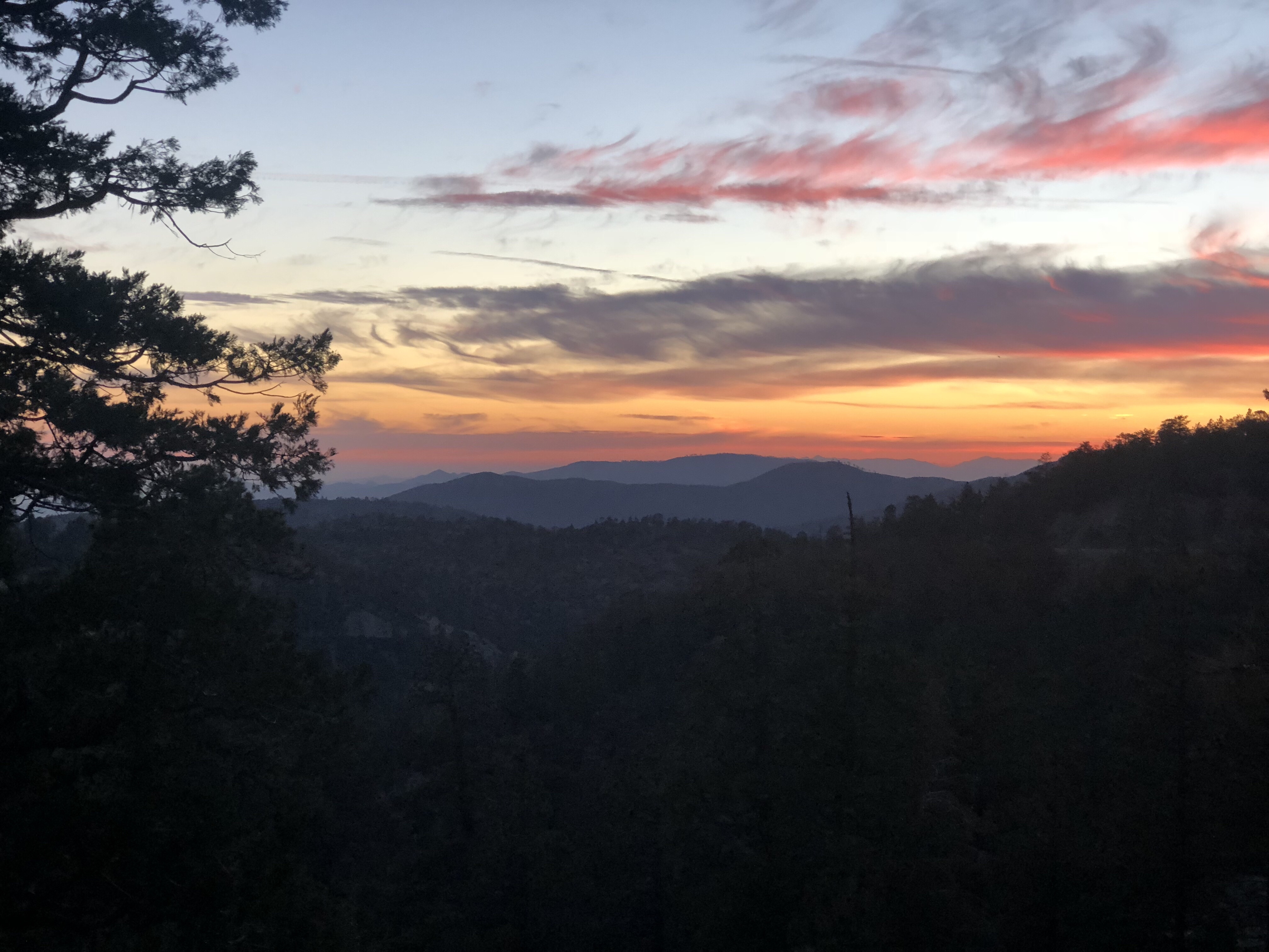
Sunset – San Gabriel Mtns
— Its been over 25 years since I’ve driven the Angeles Crest Hwy I’d forgotten how beautiful it and the San Gabriel Mtns are. If you are ever in the area, it’s worth the drive.

Today’s fortune
3 Comments
Great job! Can’t believe your there already!
I drove that highway when I took MMM to prep school It is beautiful !
I think we drove it together, too. Years ago!