Miles: 815.4 to 835.0
Trail Miles: 19.6
0430 alarm. Ugh. On the trail at 0530. I wake and sleep with the sun now, but even today was early by that standard.
We summited Mather Pass, elev. 12,096 ft. The climb up the south side wasn’t bad. We could have done it later during the day. The north side, however, was covered in snow with a lot of route finding. Even at 0700 we were post-holing in the soft snow. The 0430 wake-up was worth it.
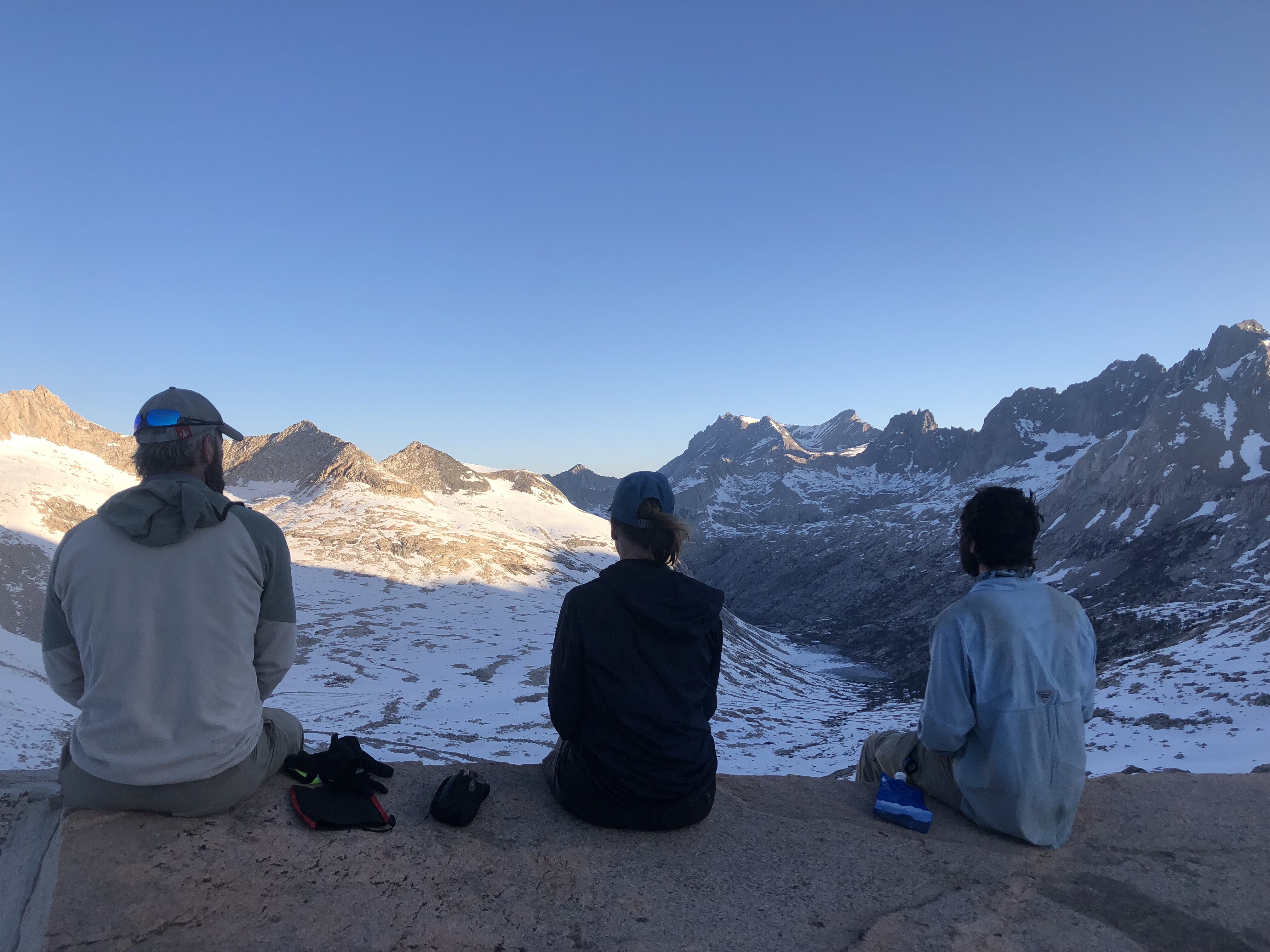
King Arthur, me & Painter on Mather Pass, looking north
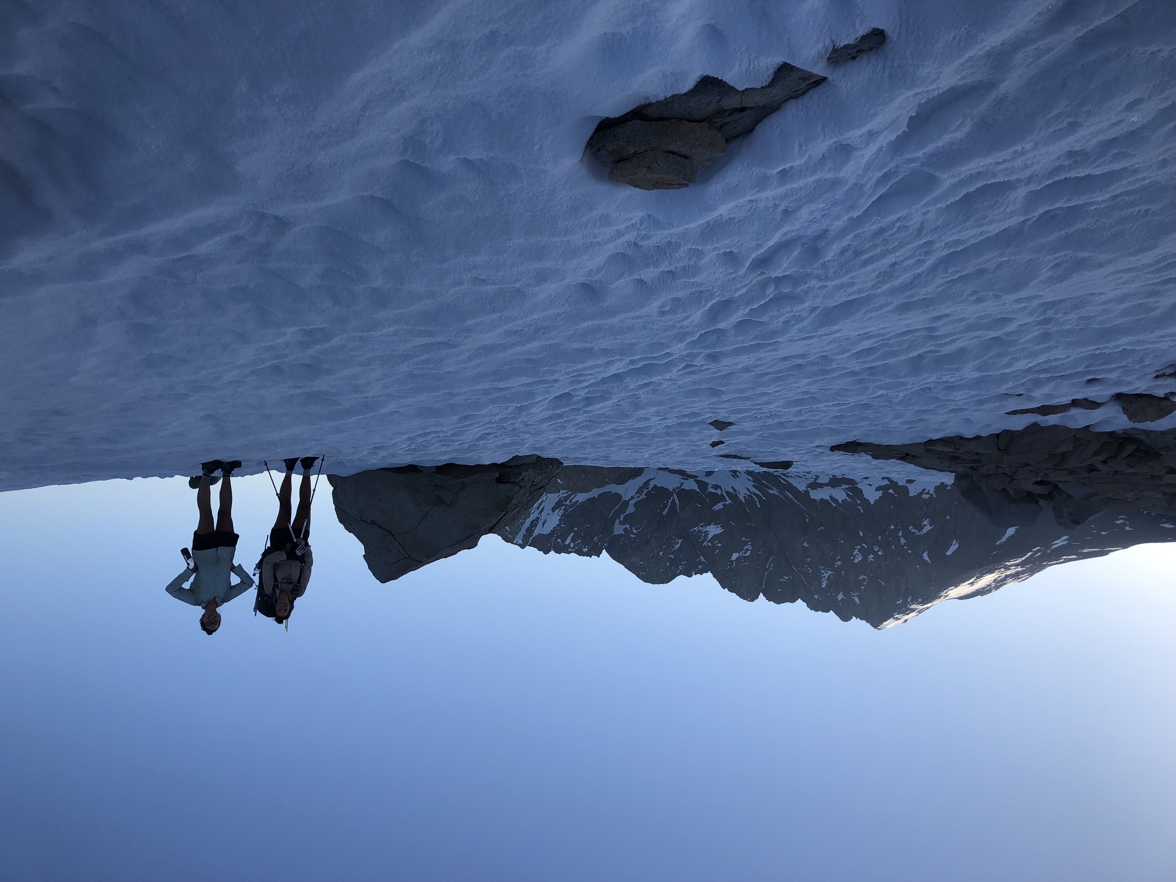
Fireball & Cherry Bomb on Mather Pass
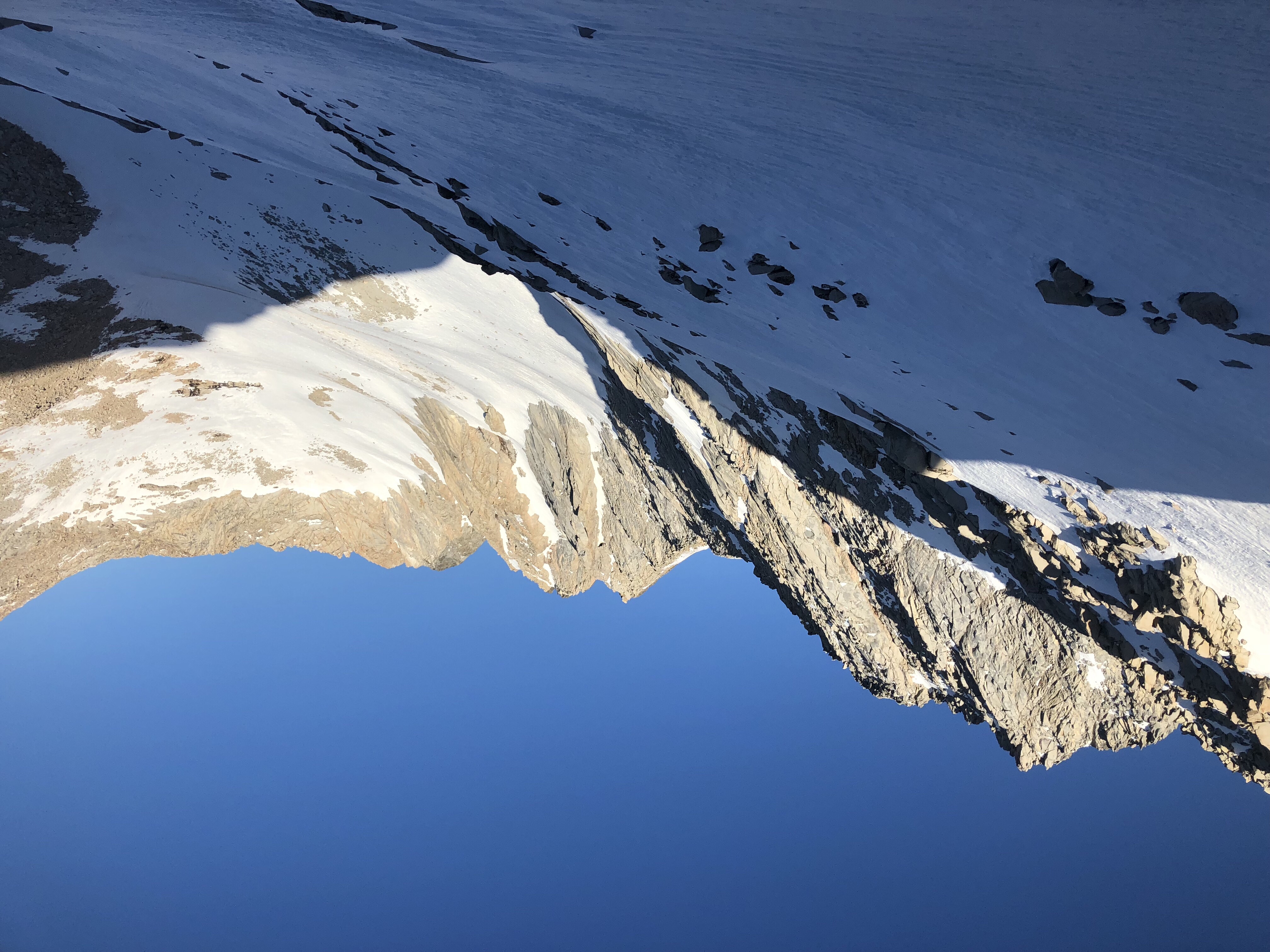
Morning sun, looking north from Mather Pass
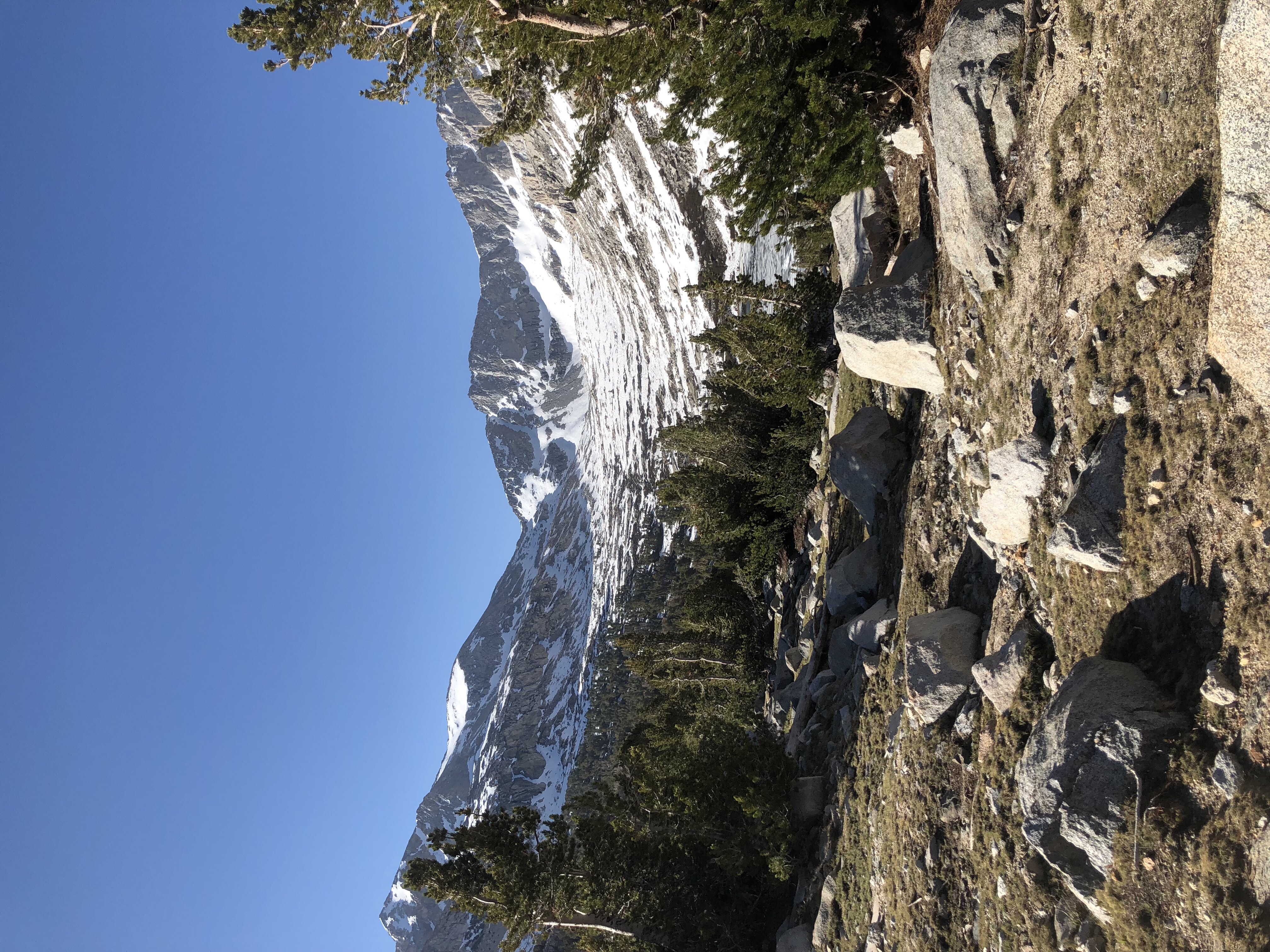
I’d heard through the hiker grapevine that Wanderer, who I’d hiked with in the desert, had been injured post-holing. The injury was severe enough to require evacuation by helicopter. — All my previous hiking in the Sierras was in July and August. The snow conditions in early June, even after a below average snowfall, were a sobering wake-up call. The Sierras are serious business.
(Note: I later heard from Medicine Woman that Wanderer is safe and recovering at home – and planning his return to finish the PCT next year.)
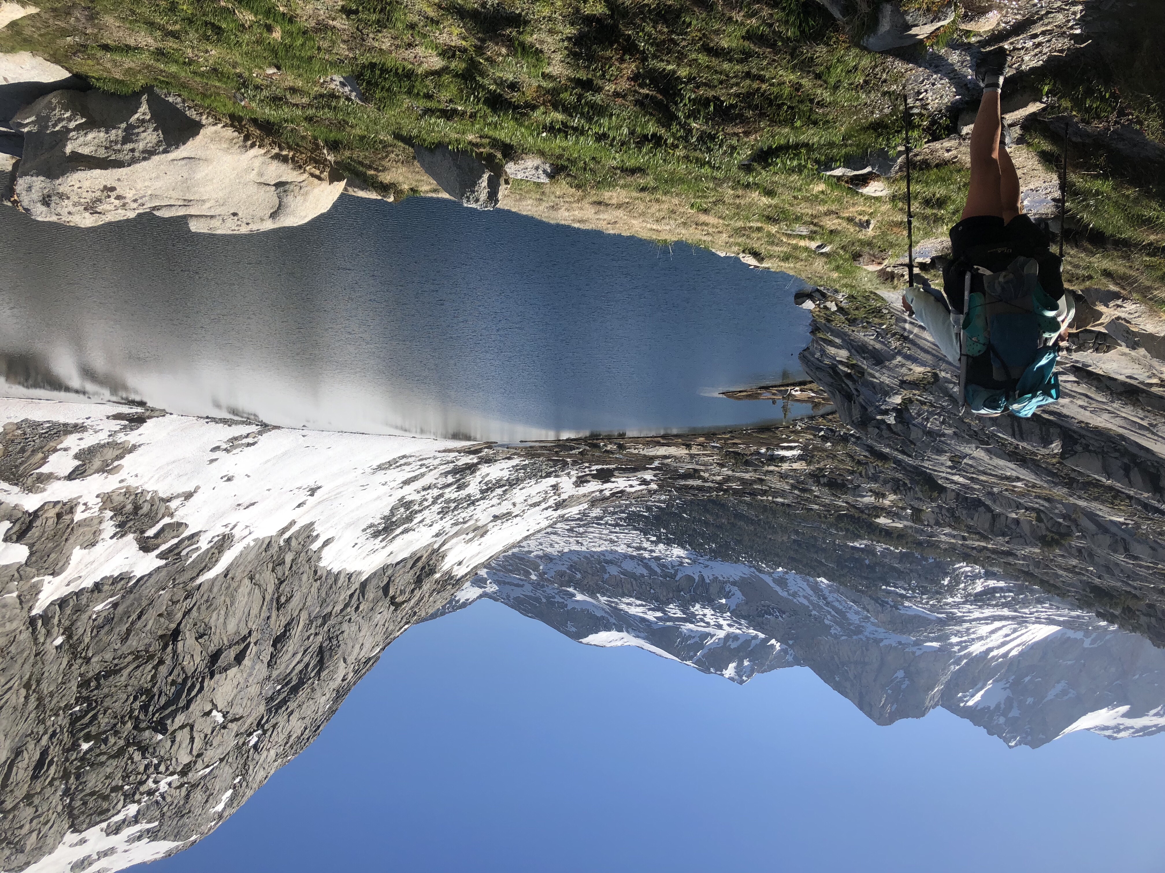
One of the Palisade Lakes
After the pass, the trail descended to the Palisade Lakes Basin. Like Rae Lakes the days before, they were stunning. Their outlet, Palisade Creek, followed us as we descended 4000 ft vertical, thundering and crashing over multiple waterfalls.
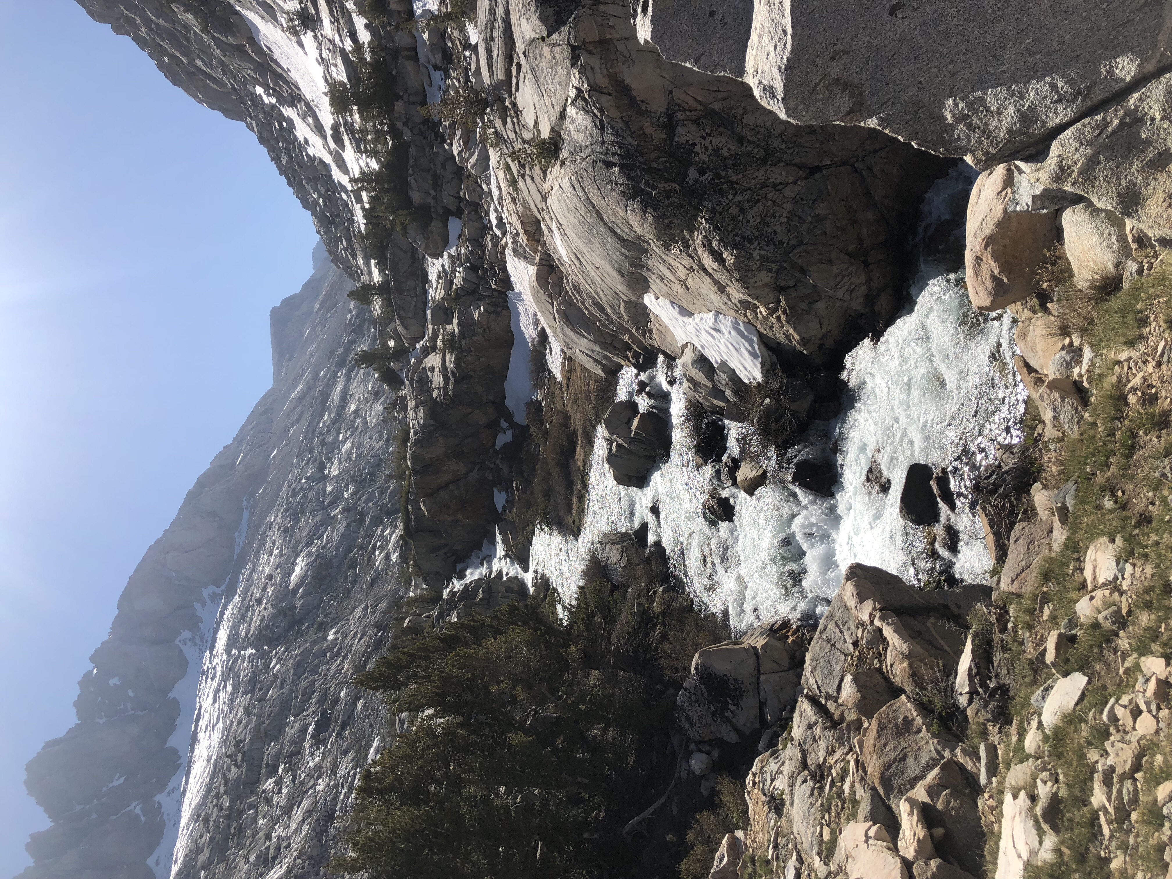
Palisade Creek
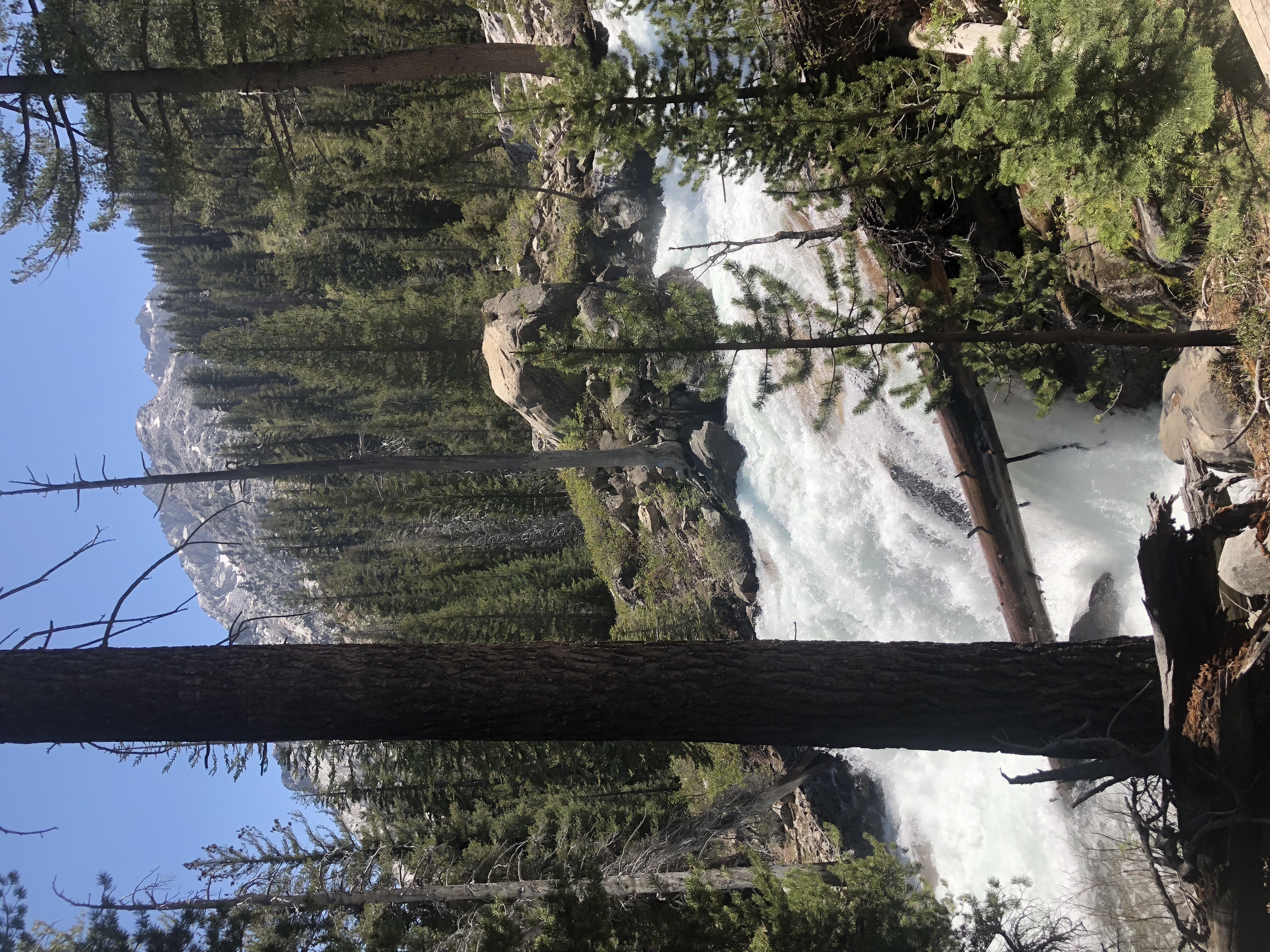
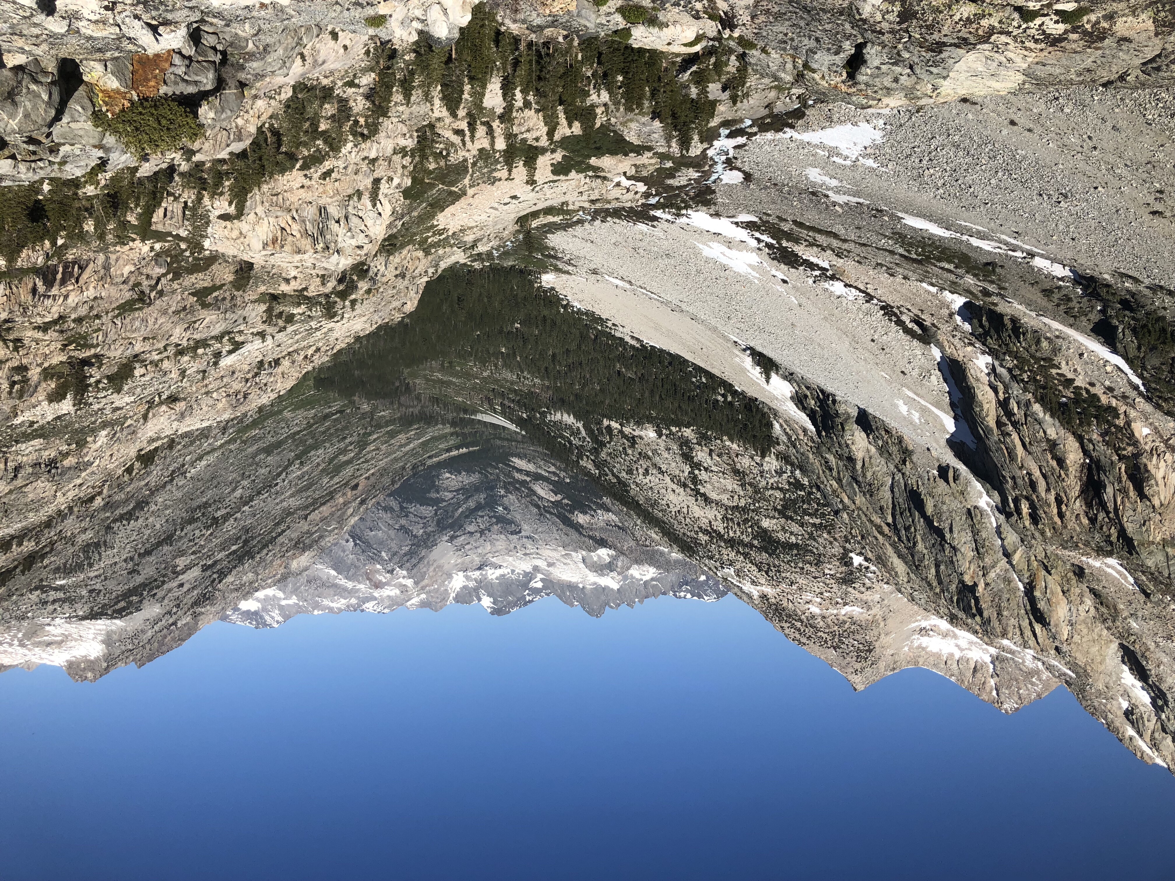
Palisade Creek as it descends to Mid-Fork Kings River
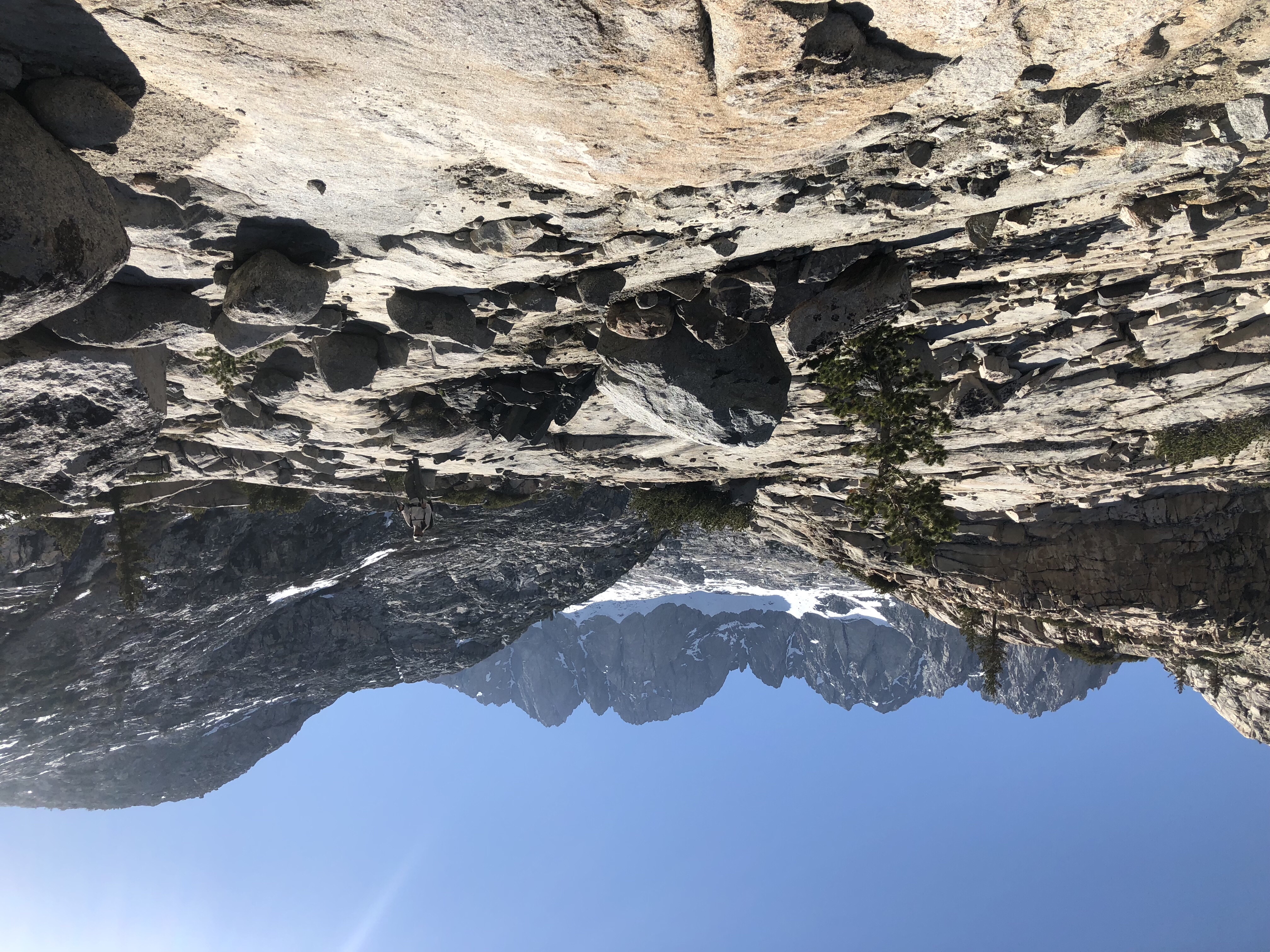
The trail was a marvel. In places it was carved into the side of a rock wall. Large boulders positioned to make steps and stairs of varying heights and widths. I vaguely remembered this being a challenging climb years ago on the JMT as we headed southbound. I was glad to be going north and descending.
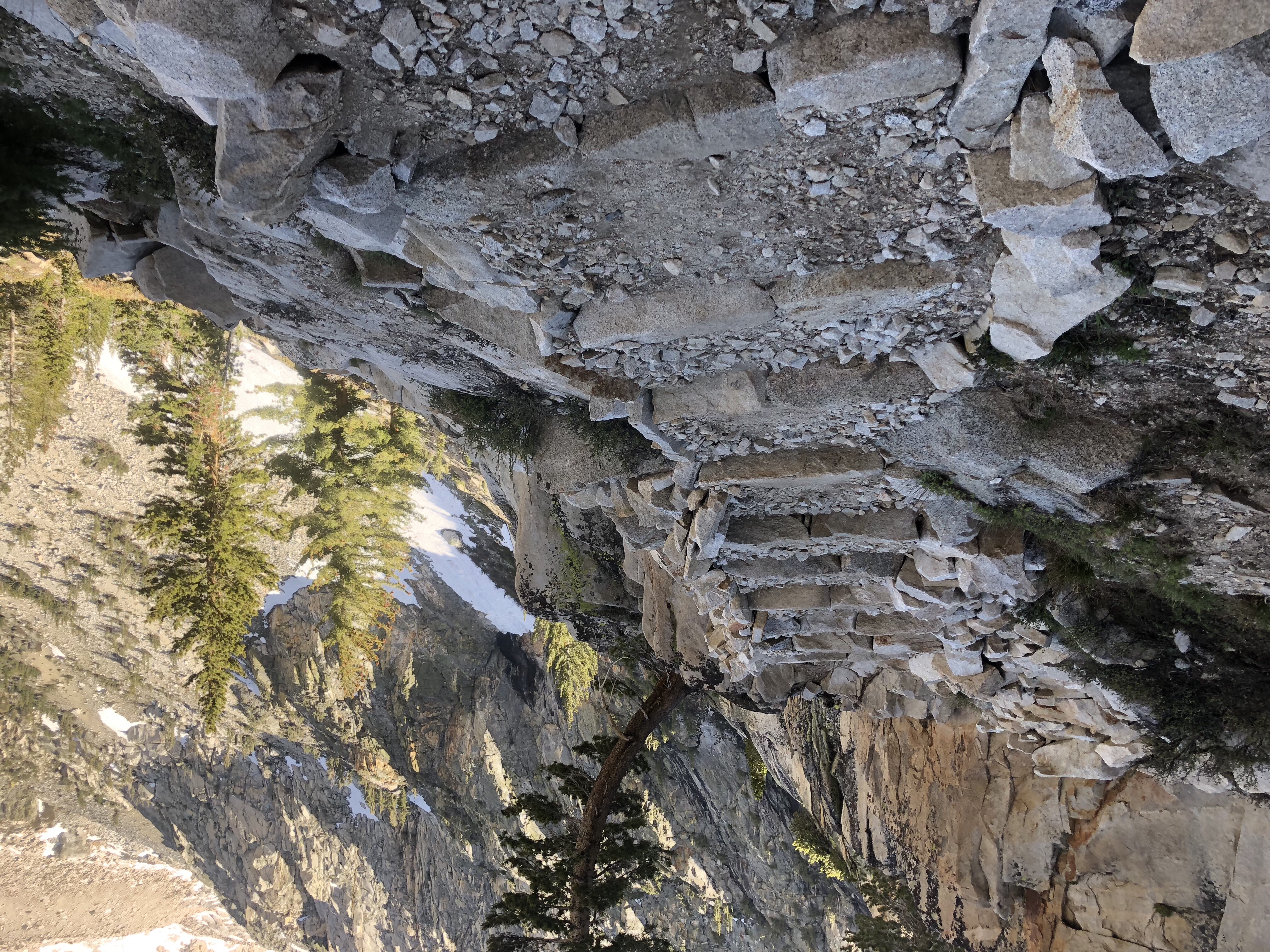
An easier section of the trail with stairs
We stopped for lunch at noon, 12 miles into the day, at the junction of Palisade Creek and the middle Fork of the Kings River. After eating and drying out our tents from the night before, we started climbing alongside the Kings River in what is called Le Conte Canyon. It was gorgeous with more thundering waterfalls. Eventually the trail leveled off beside a beautiful meadow with the river quietly serpentining its way through. Granite peaks encircled the meadow, towering 4000 ft above us.
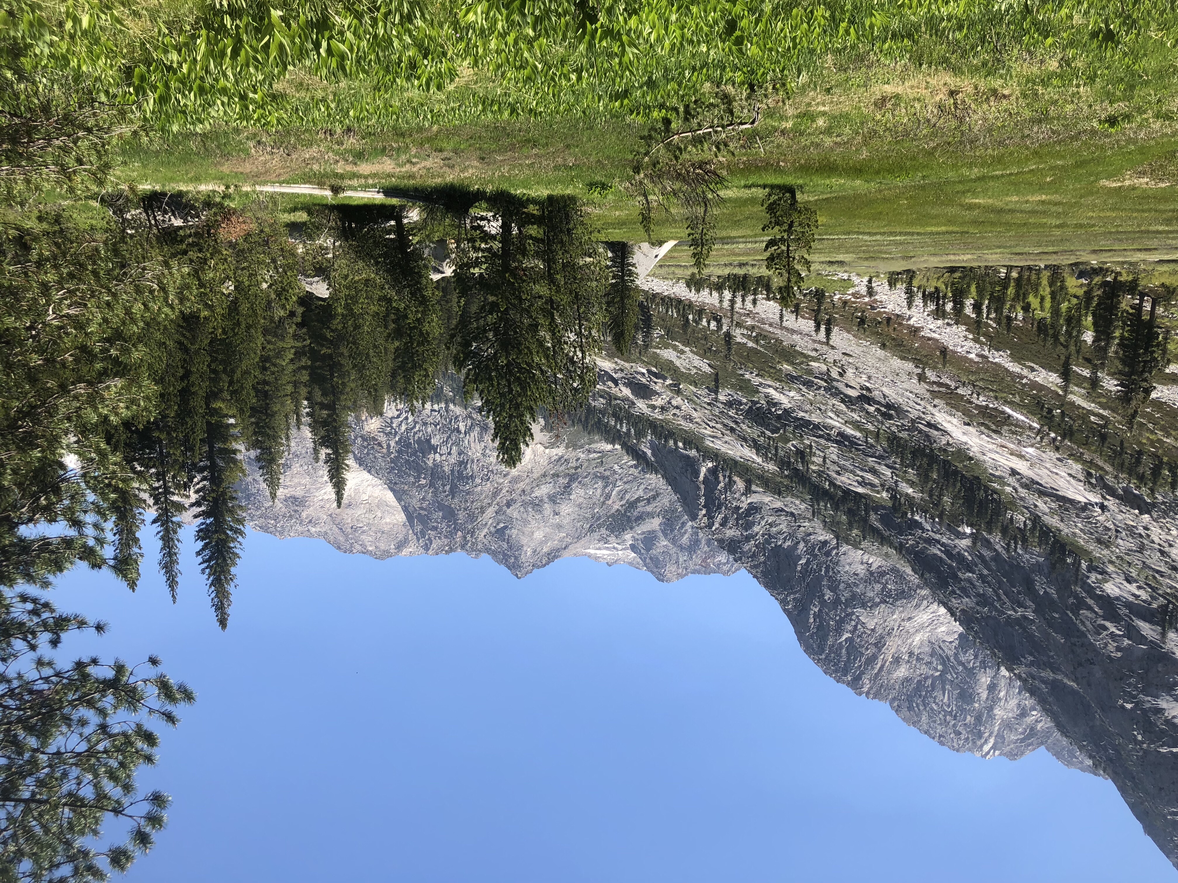
Le Conte Canyon meadow
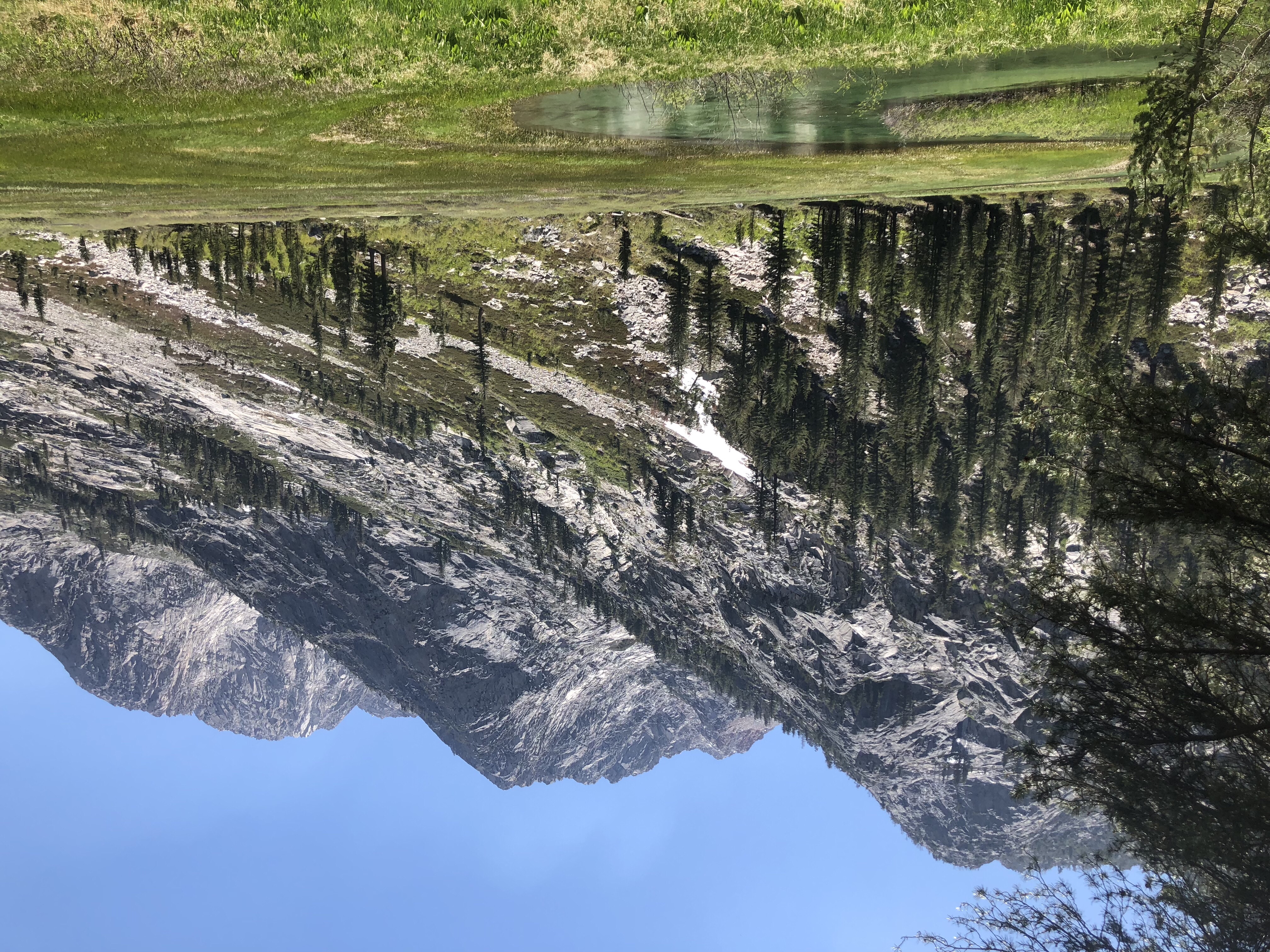
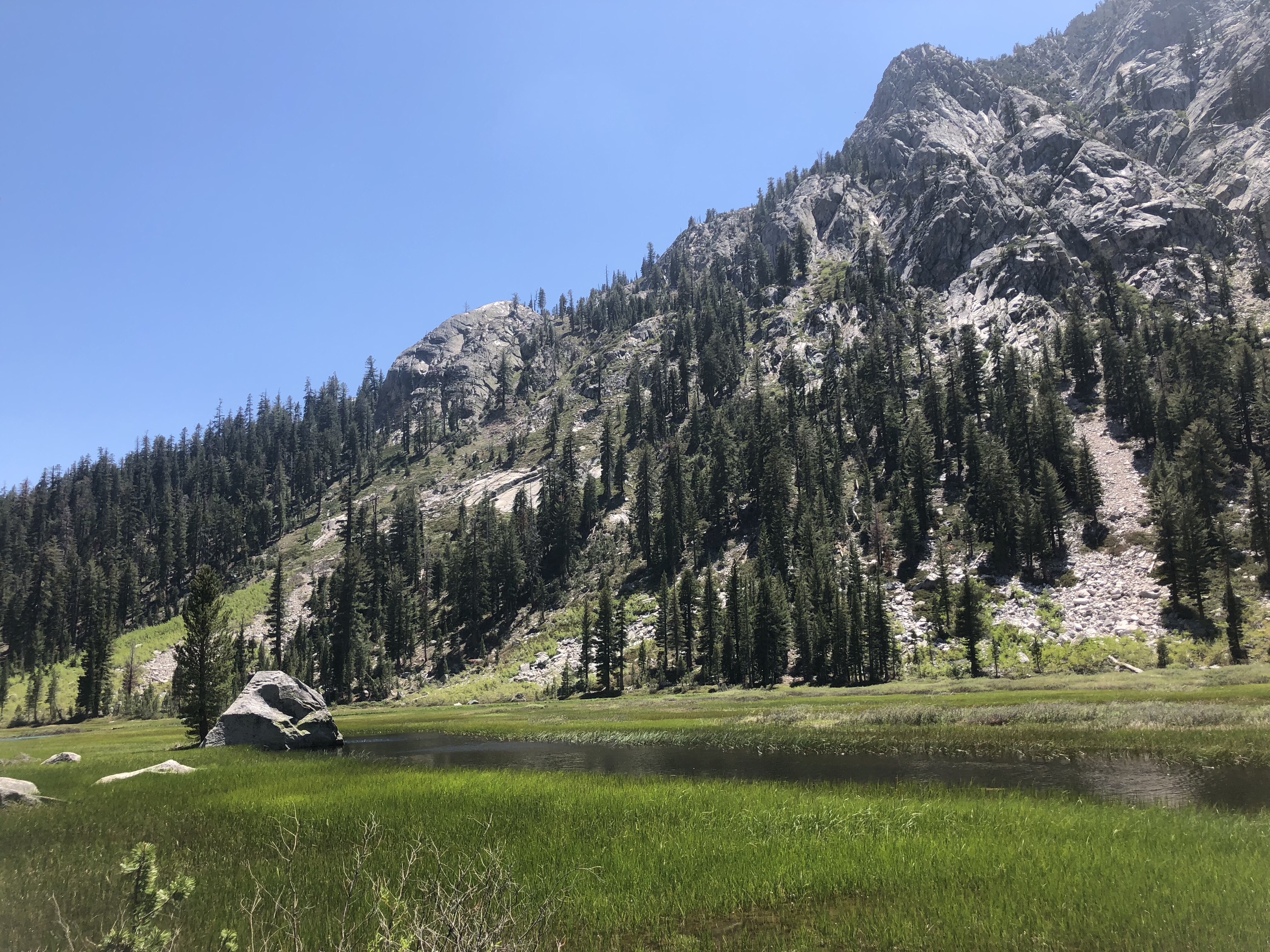
We encountered groves of aspen trees. At first they were more like shrubs – young saplings that had been mangled and misshaped by avalanches and snow. Eventually mature aspens appeared. This area would be beautiful in the fall when the aspens turn golden.
It was a gorgeous day. The pictures don’t quite capture the enormity and beauty of the Sierras.
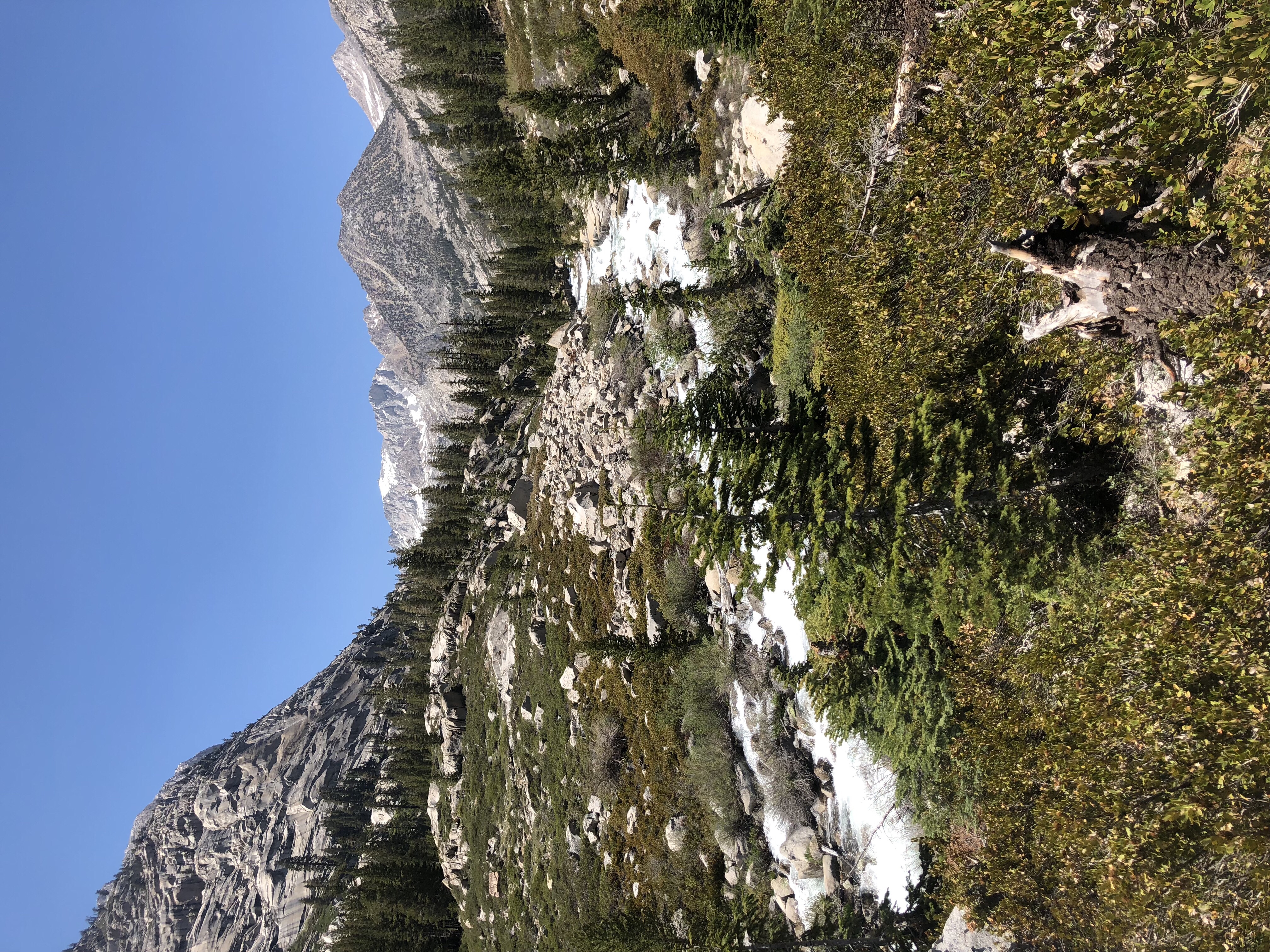
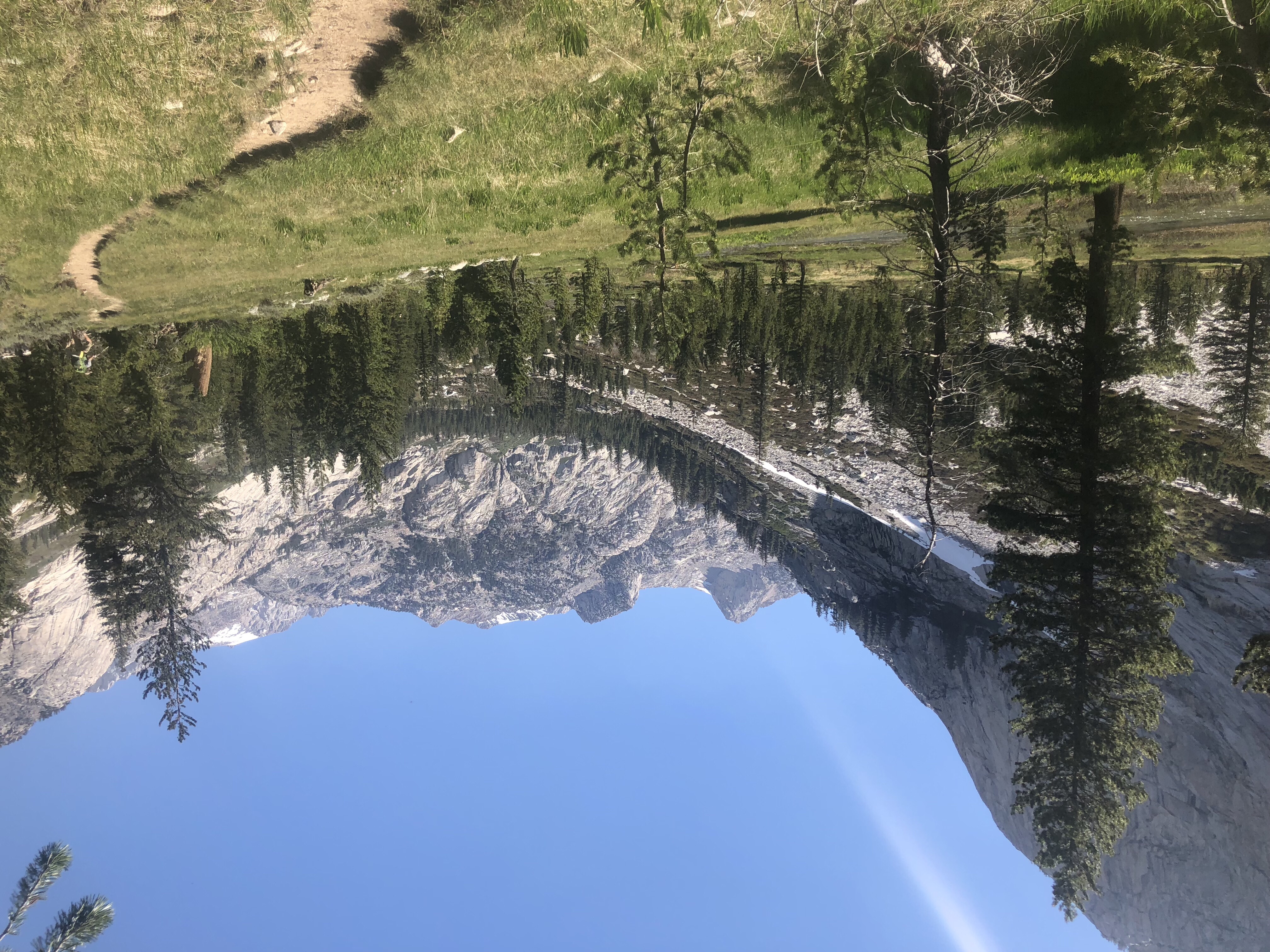
Le Conte Canyon
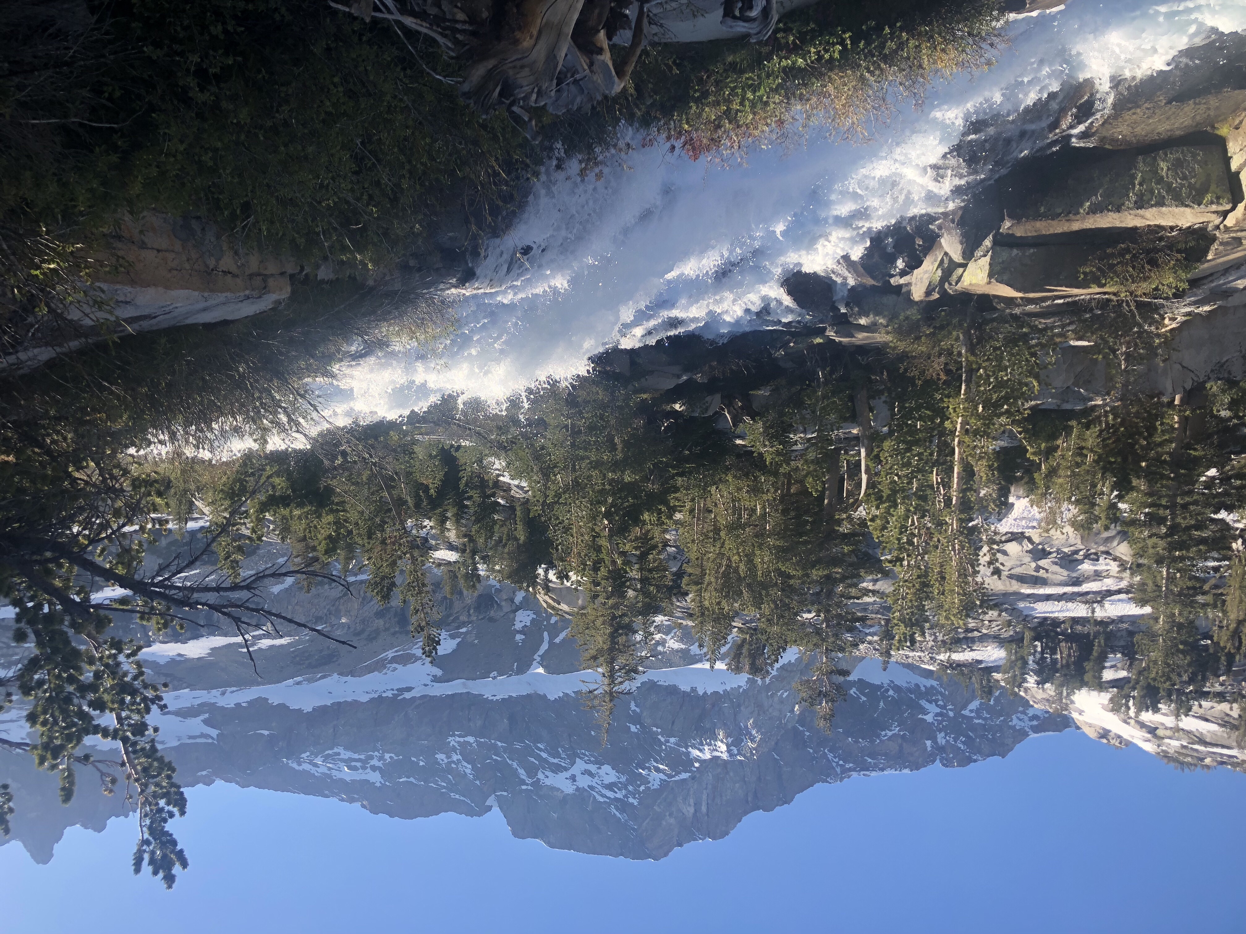
Middle Fork of the Kings River, Kings Canyon NP
Our group of 8 split into two for the night. Some are early risers and don’t mind extra mileage in the morning. Others prefer to hike later and get an extra hour of sleep in the morning. –I’m part of the latter if you couldn’t guess. — We camped beside the middle Fork of the Kings River, three miles short of Muir Pass, our objective for tomorrow. We’d all join back up tomorrow for the challenging climb and rewarding views from Muir Pass.
2 Comments
We can COMPLETELY identify! Jean and I did three hours at Onondaga County’s Pratts Falls Park trail. Yeah , right!
What a magnificent adventure you are experiencing. What a great narrative you are sharing.
Thank you for sharing. Be safe.
Wannabe mike
Mike – Enjoy your adventure wherever it is!!